Many people say their most vivid memories from childhood stay in the family portraits from Yosemite National Park.
I do not have statistics, but many people seem to carry certain degree of nostalgia when they visit Yosemite for the first time since their childhood. Aspiring mountains and small village community inside the park make this place somewhat special sanctuary undisturbed from the busy life outside. Camping in the park is very easy and facilities are thorough – you can easily forget that you are in the middle of wilderness. At night, once the campfire is fed with enough fire woods and stomachs are full with good foods (camp food is the best food) you can even look up the sky and enjoy natural planetarium above your head.
From hiking to relaxation by the beautiful lakeside, Yosemite National Parks has something for everyone. It is one of the most beloved National Parks in USA.
4th of July Holiday is the most popular time of the year for friends and families in US to embark on weekend long adventures to explore the country’s beautiful landscapes.
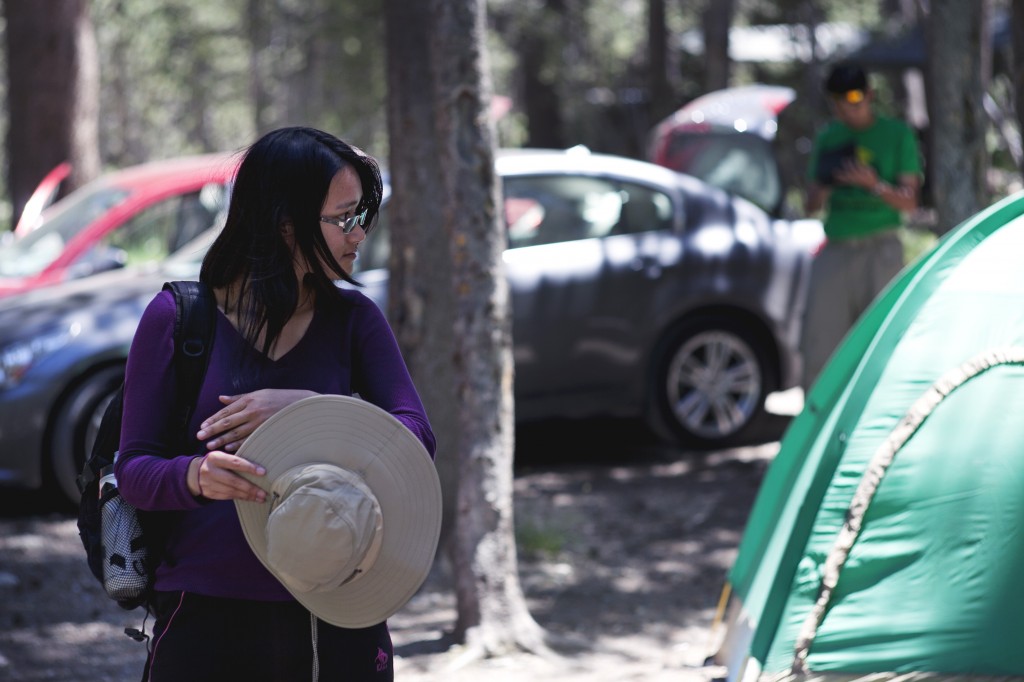
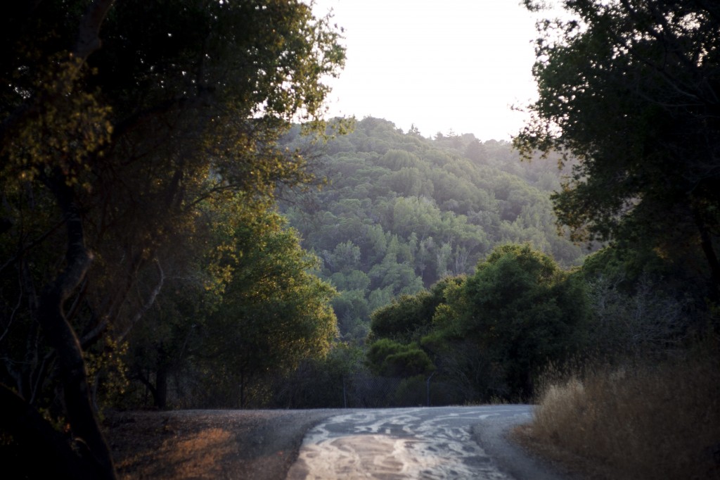
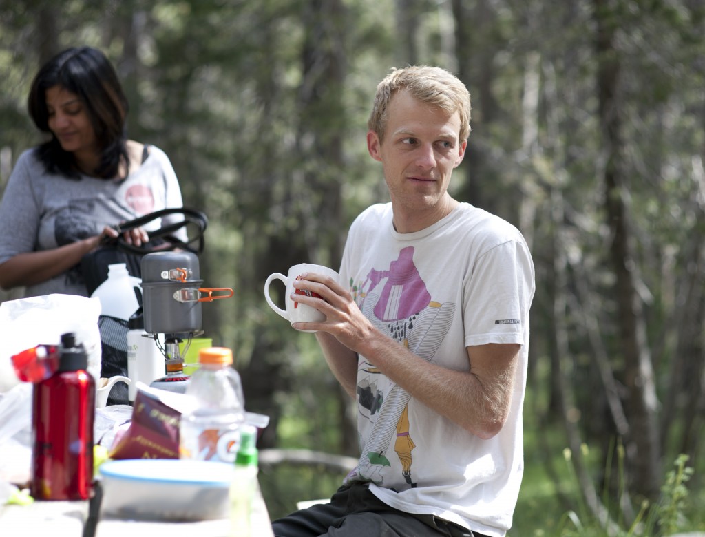
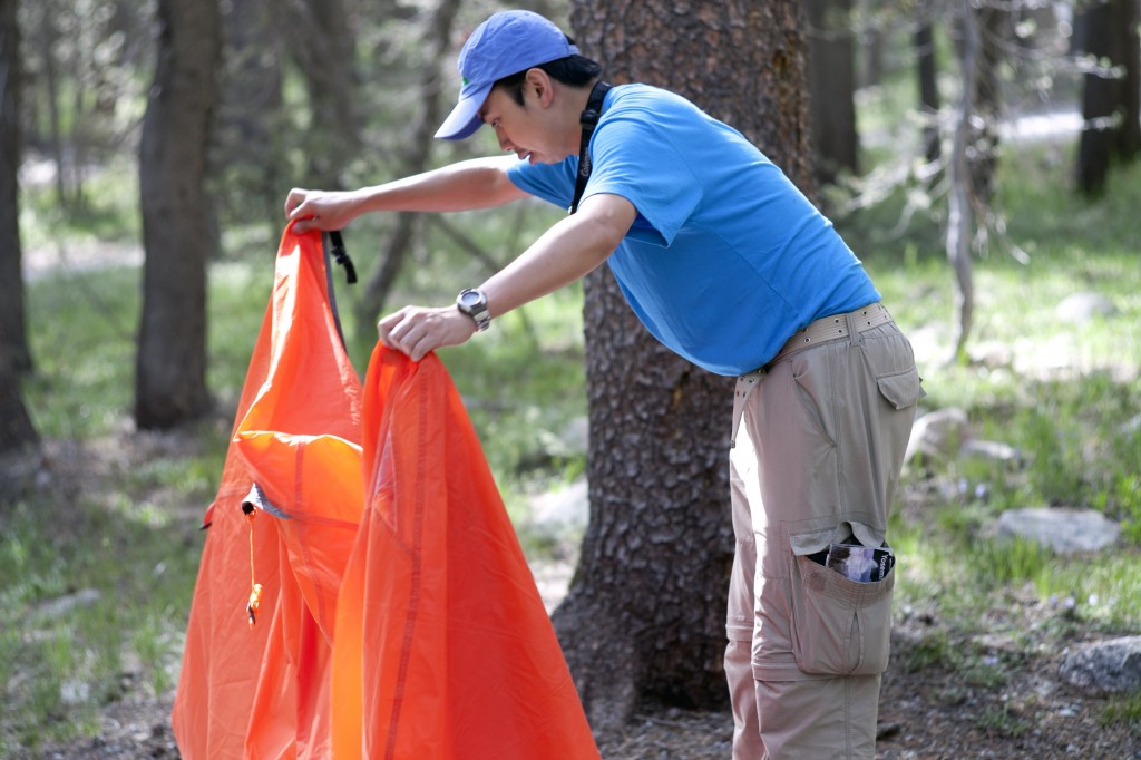
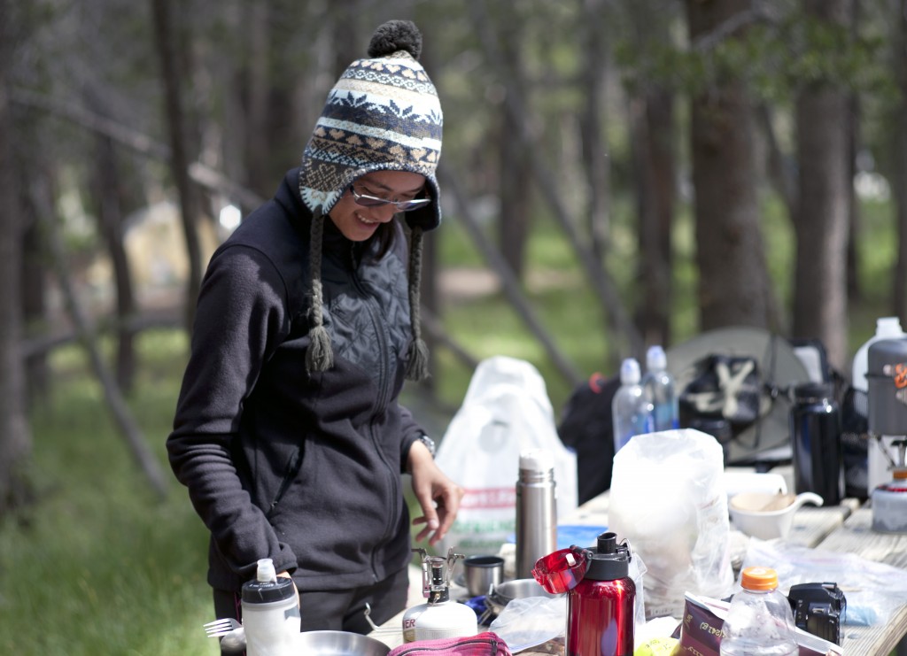
Summer season was on full swing when I visited Yosemite National Park this past weekend. Us, six fearless adventurers (although there was not much life jeopardizing challenges except for maybe car about to run out of gas..) camped out in Tuolumne Meadows and hiked all around the beautiful landscapes of Yosemite.
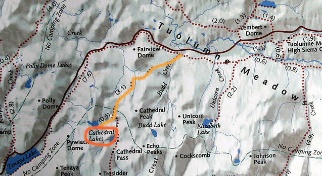
Day 1 – After arriving at Tuolumne Meadows campsite and pitched tents we decided to start up the long weekend with quick hike to Cathedral Lakes (7-miles/ 11.3km round trip):
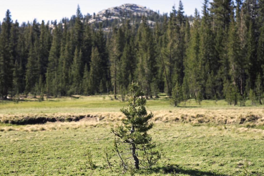
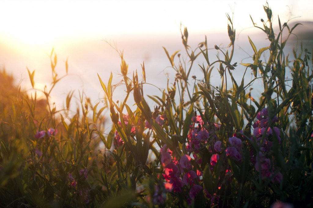
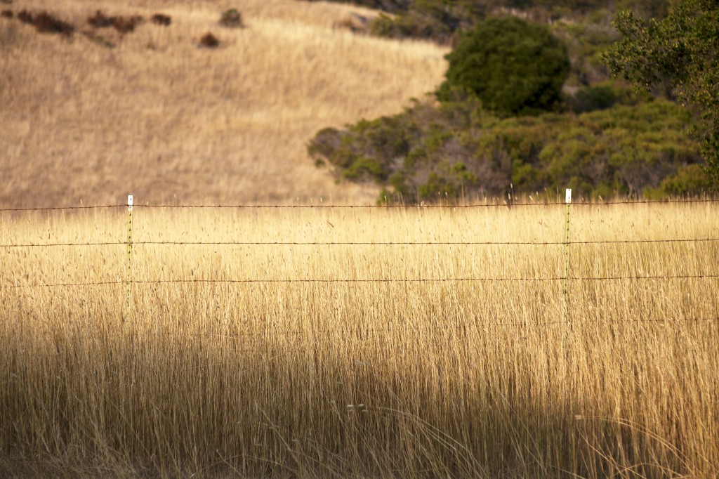
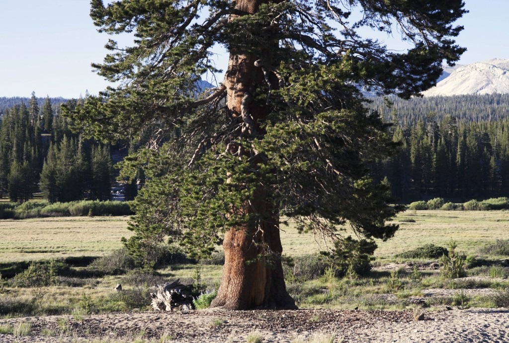
A lone pine standing in the middle of meadows along the Cathedrals Lake trail.
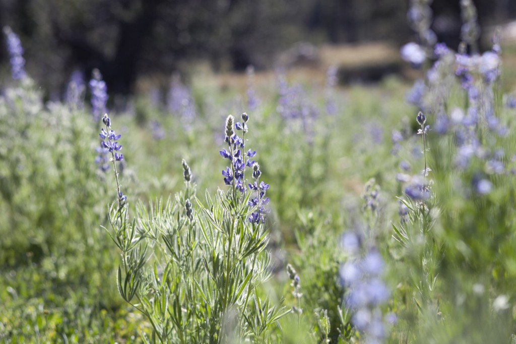
Although Cathedral Lakes Trail is one of the easiest hiking course from Tuolumne Meadows area, it has many things to see along the path. Imagine this as giant’s secret garden – Families of flower and small wildlife awaits your visit. The trail is also less crowded compared to popular hiking trails near Yosemite Valley.
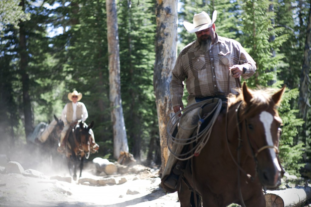
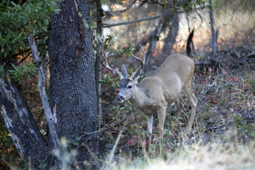
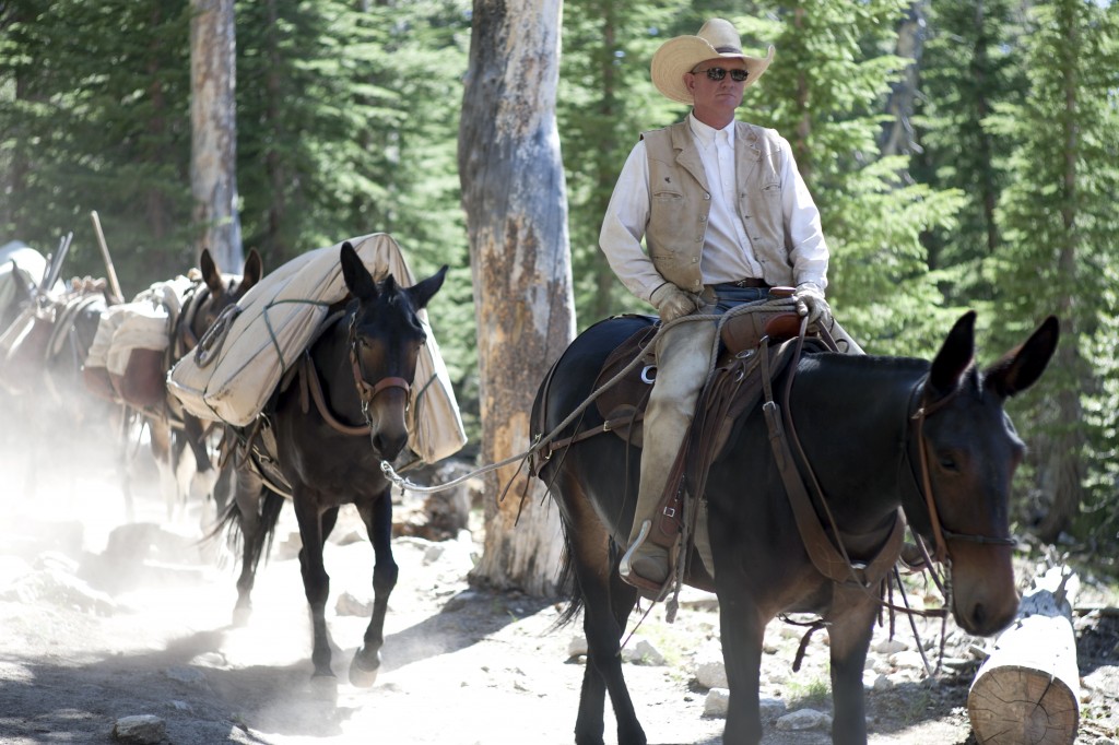
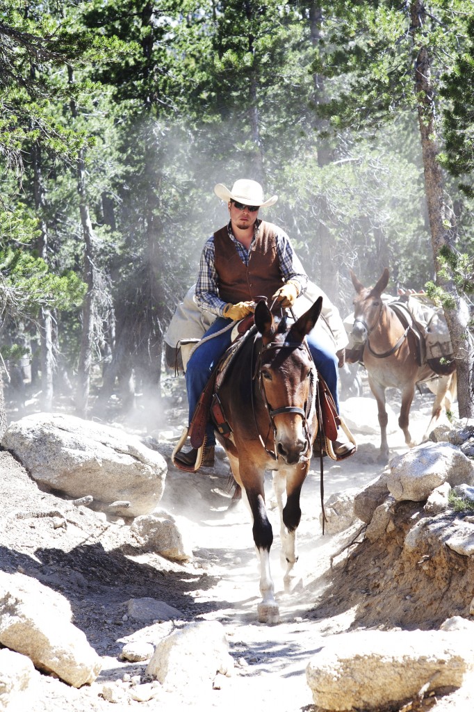
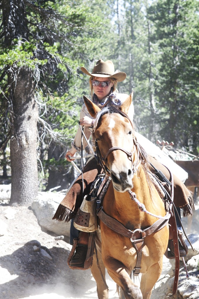
Encountering horseback campers on the trail. So wild!
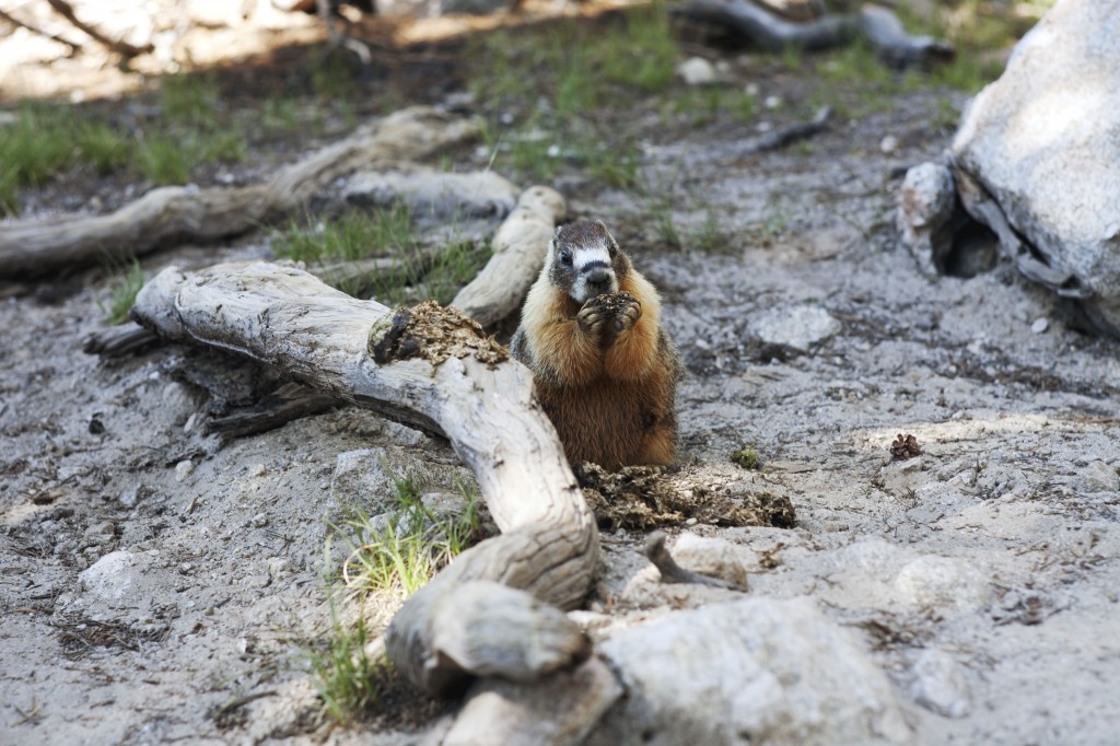
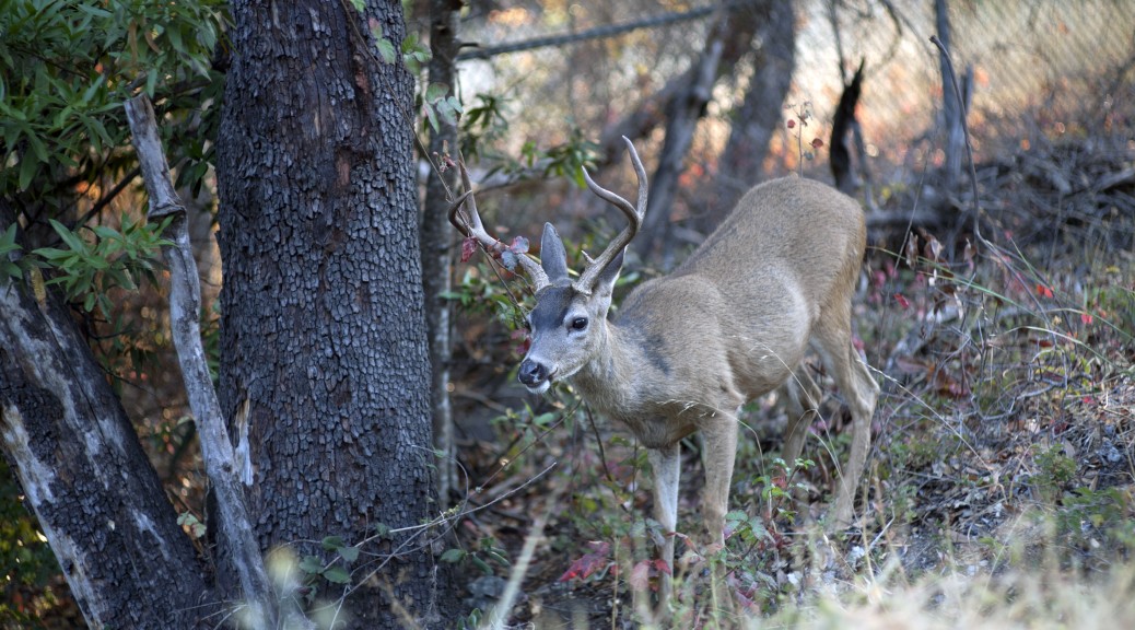
Wild marmot feeding on horse drops. One man’s trash is another man’s treasure.
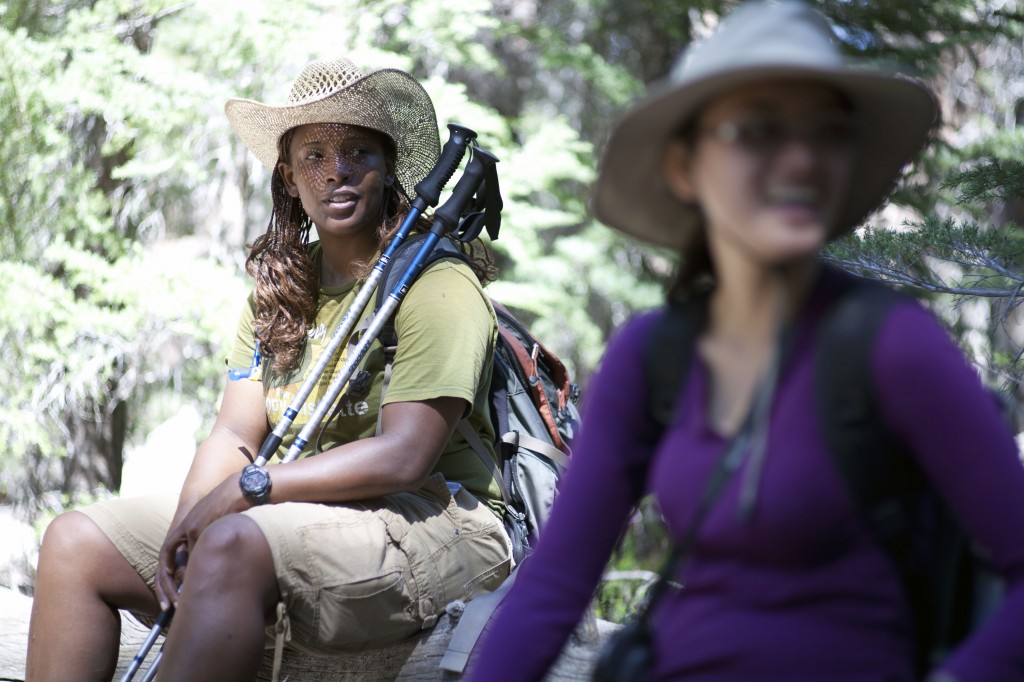
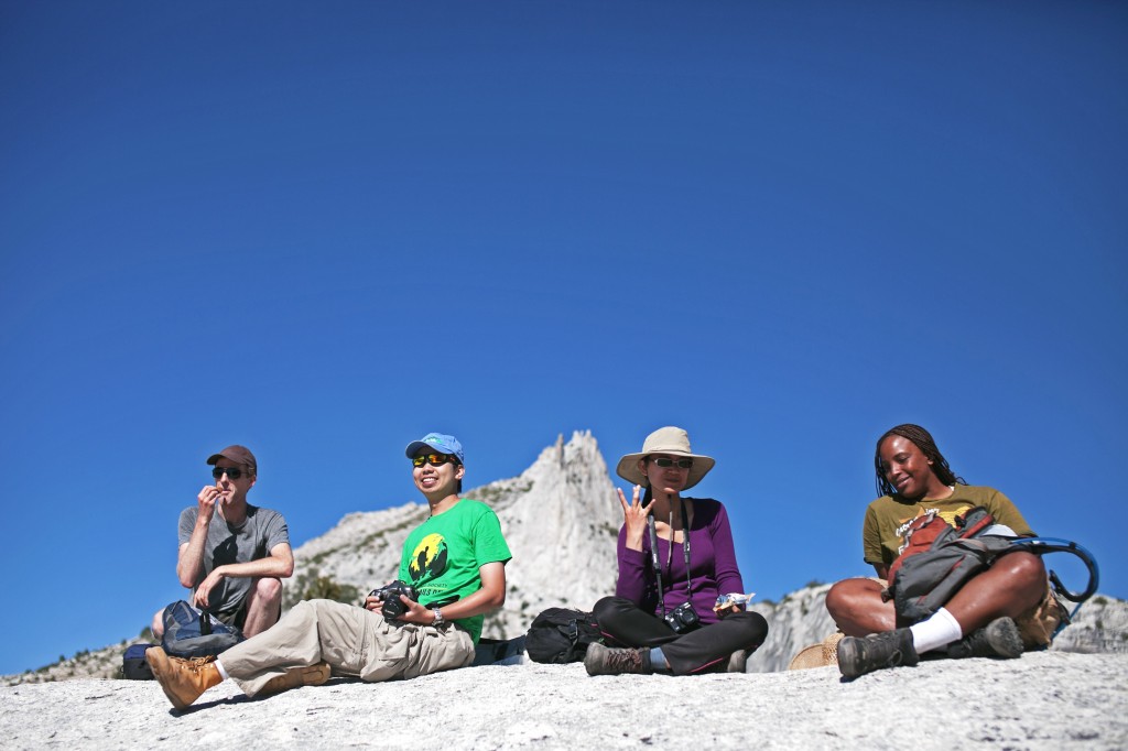
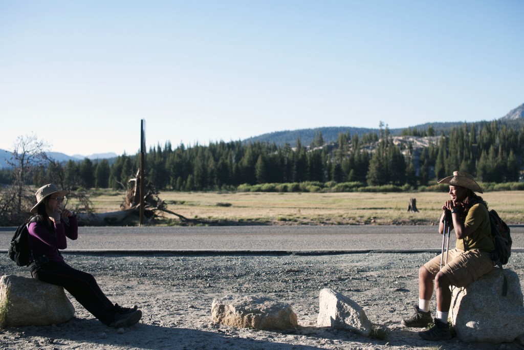
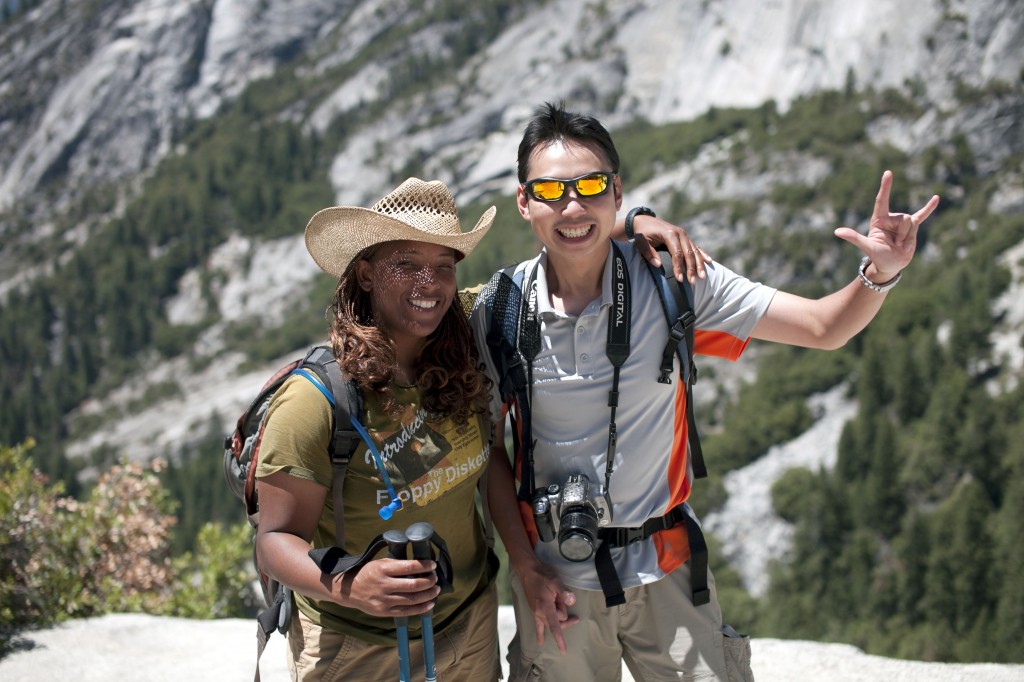
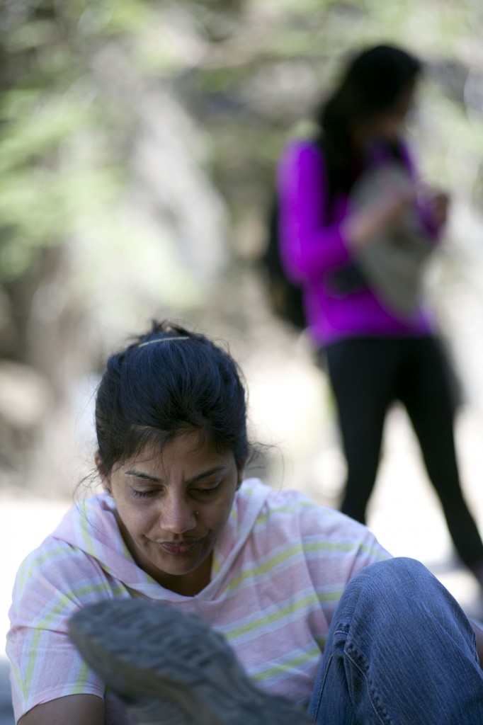
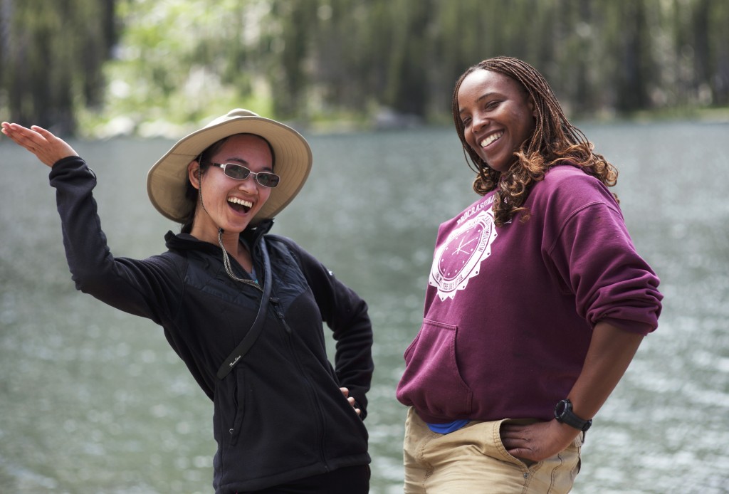
Jennifer and Ta resting during the Cathedral Lakes hike.
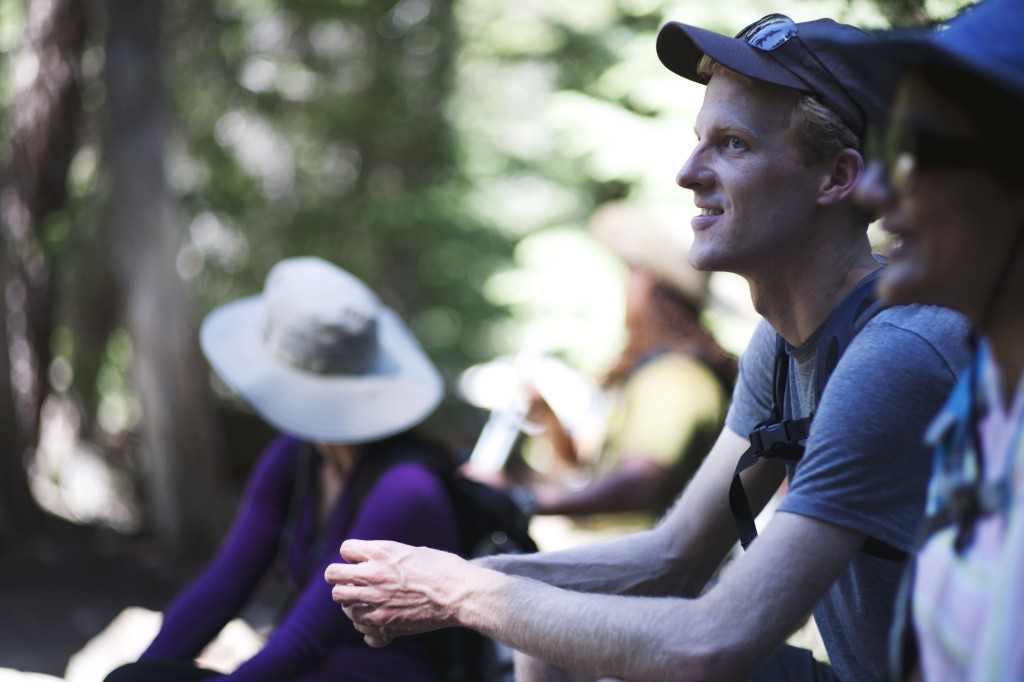
Toby and the rest of hiking gangs.
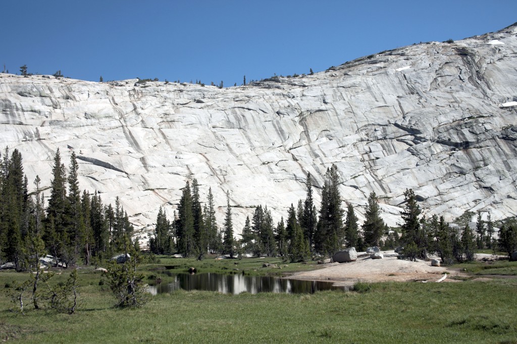
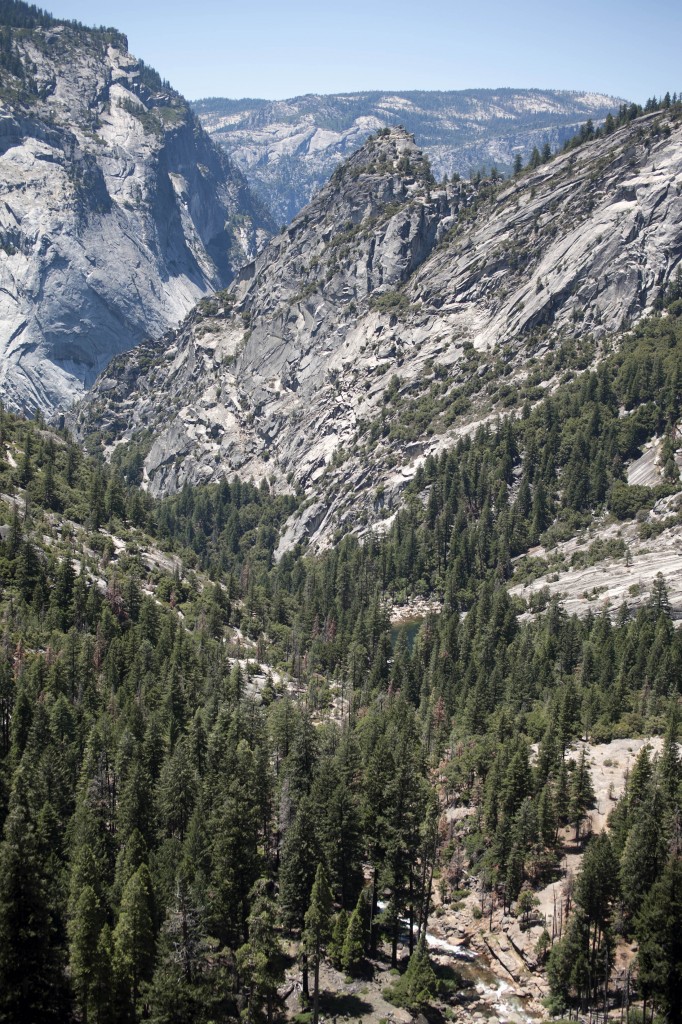
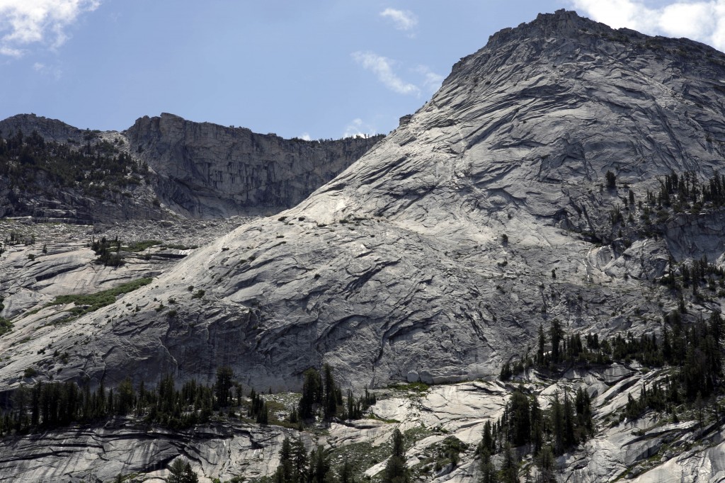
As we exited the woodsy trails to the lakes, suddenly the chalky white boulders appeared to blind our sights with gleaming beauty.
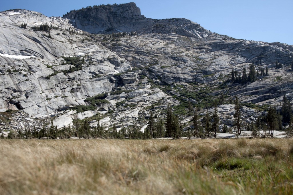
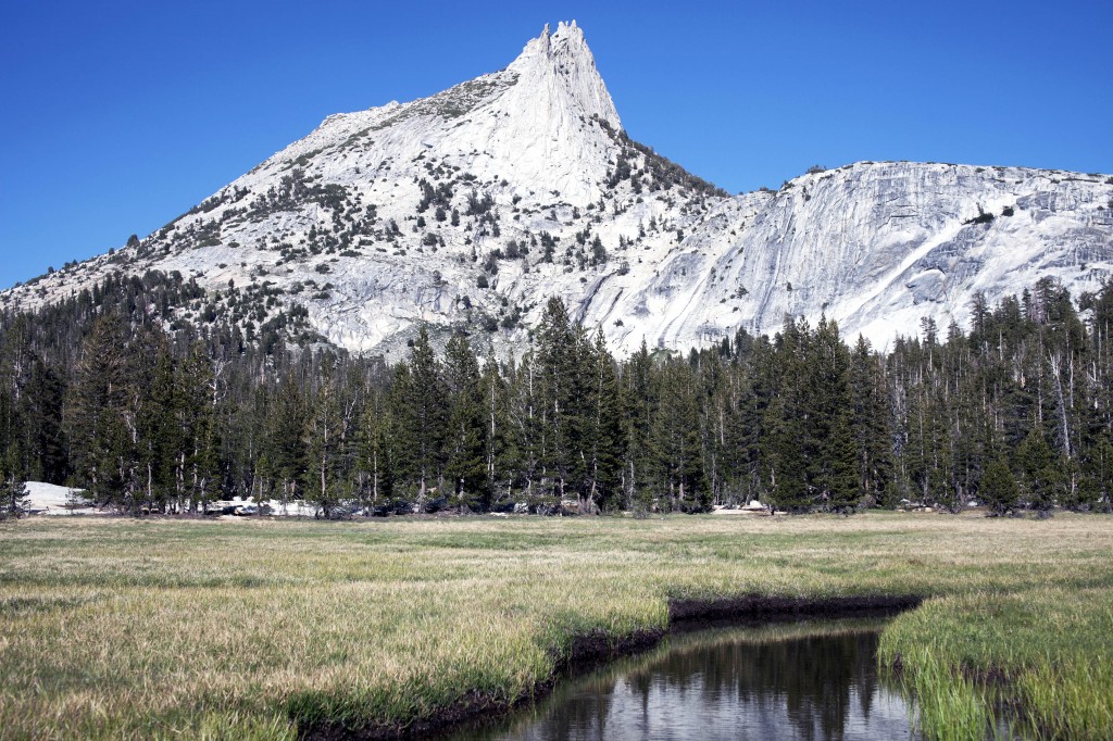
Grandiose view opens up as we get closer to the Cathedral Lakes.
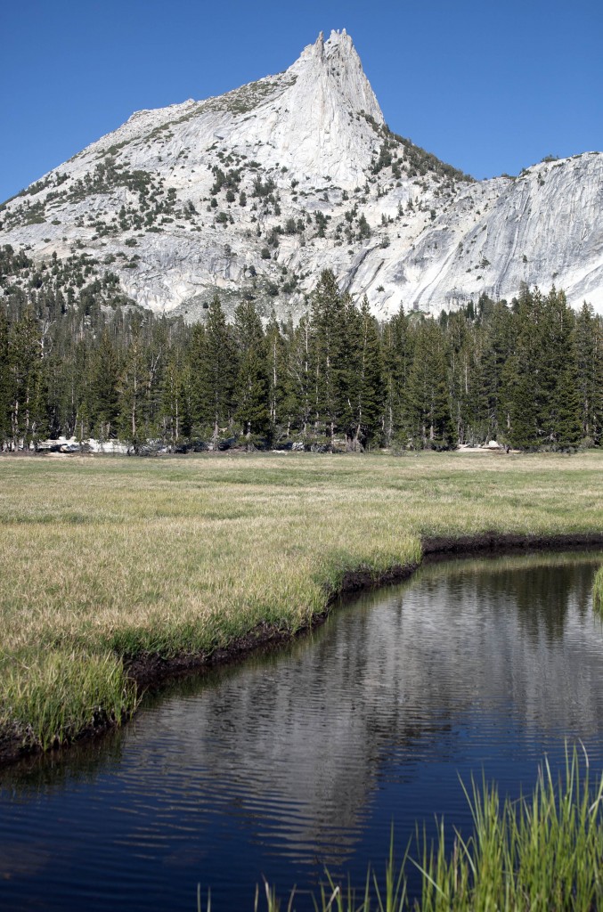
We made it to the Cathedral Lakes. Now it’s time to relax and enjoy the remaining daylight…
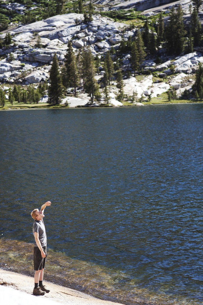
Cathedral Lakes
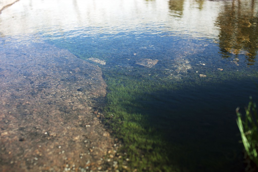
A millions of tiny life sprouts inside the lake water. Mossy greens and fish dance to the wind that passes above the lake.
At the end of Cathedral Lakes hike. Ta and Jennifer.
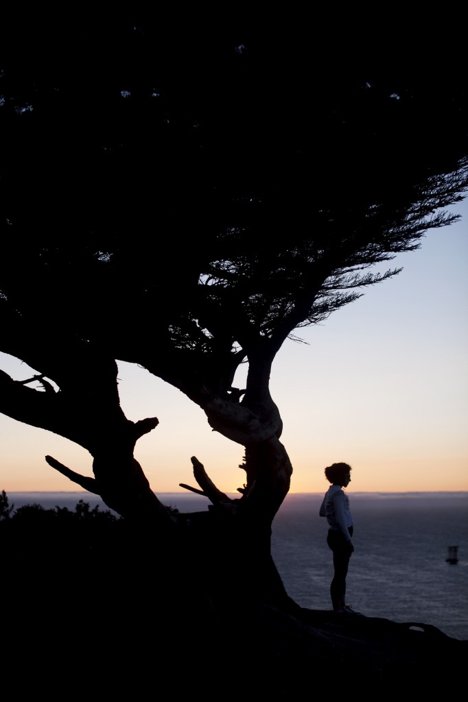
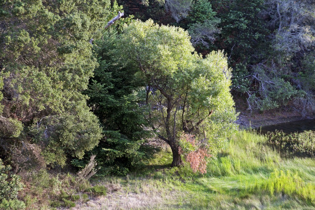
Wise tree of Tuolumne Meadows
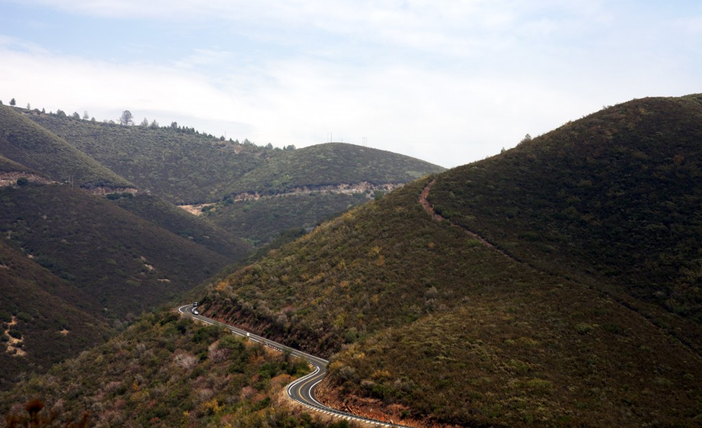
Day 2 – We woke up around 7am and cooked up quick breakfast and headed toward Yosemite Valley for full day of hiking. It takes roughly 45 minutes to drive to Yosemite Valley from Tuolumne Meadows.
We arrived at Curry Village around 10am and took free shuttle from there to Happy Isles Trailhead that goes upwards to Vernal and Nevada Falls through Mist Trails.
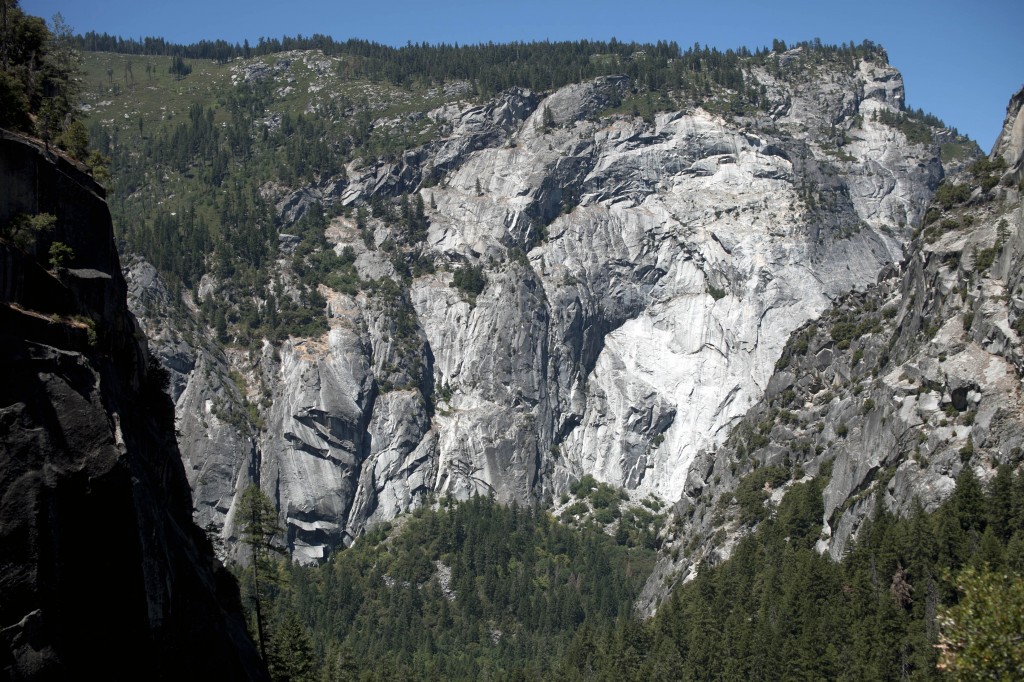
Yosemite Valley is my all time favorite hiking spot regardless of which trails to take. It’s always very special to hike along the beautiful ridges of naturally curved rocky trails and see amazing activities of waterfalls. So breathtaking!
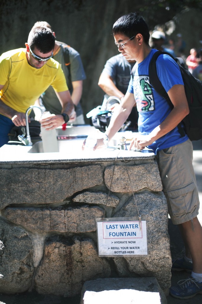
Fresh water fountain is available all around the park. Make sure to always carry sufficient amount of water to avoid dehydration and cramps.
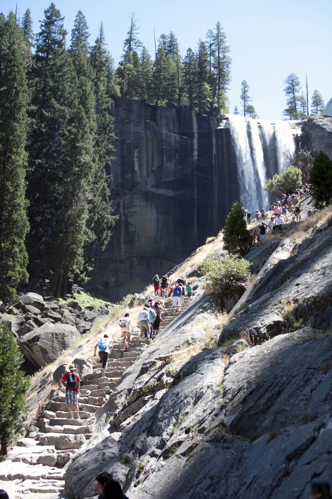
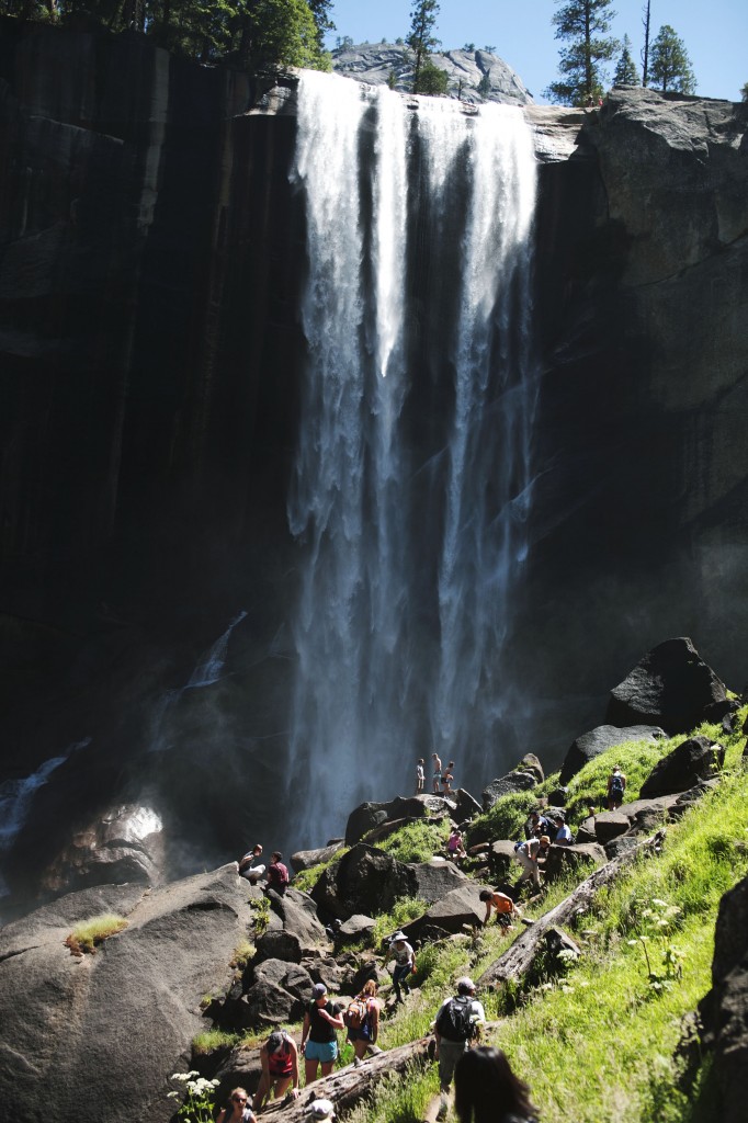
If you never visited Yosemite National Park before, I would highly recommend taking Happy Isles Trail towards Vernal Fall and finish up to the grand Nevada Fall. Although the hike distance is only 1.6 mile, this elevation buster hike will definitely work you hard until the last footstep. Here’s some samples of great scenery this trail offer:
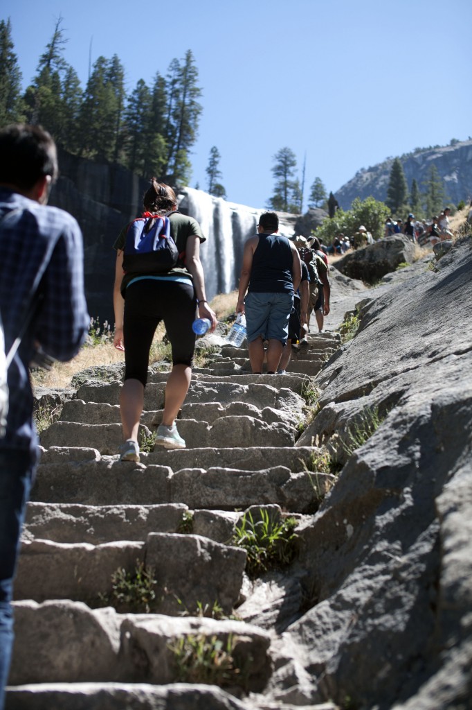
Up up up to the Vernal Fall – the first water fall you will see on this trail.
Beat the crowd: If you don’t like it, best to start hike as early as possible.
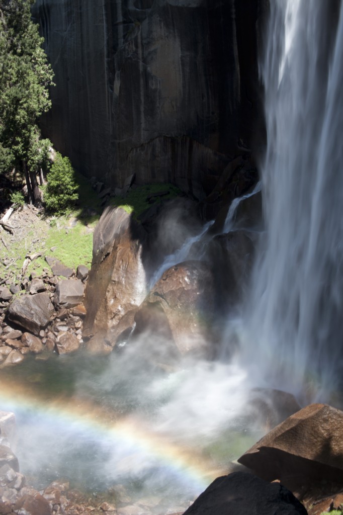
Splash of falling water paints the rainbow in the mist.
A view from the top of Vernal Fall.
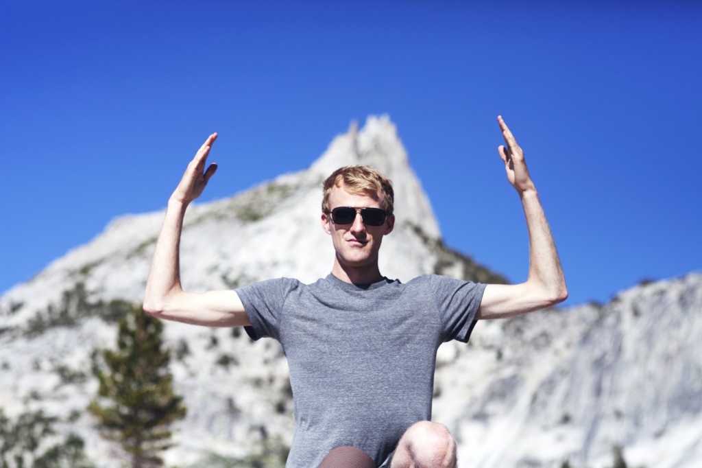
William and Nevada Fall in the background.
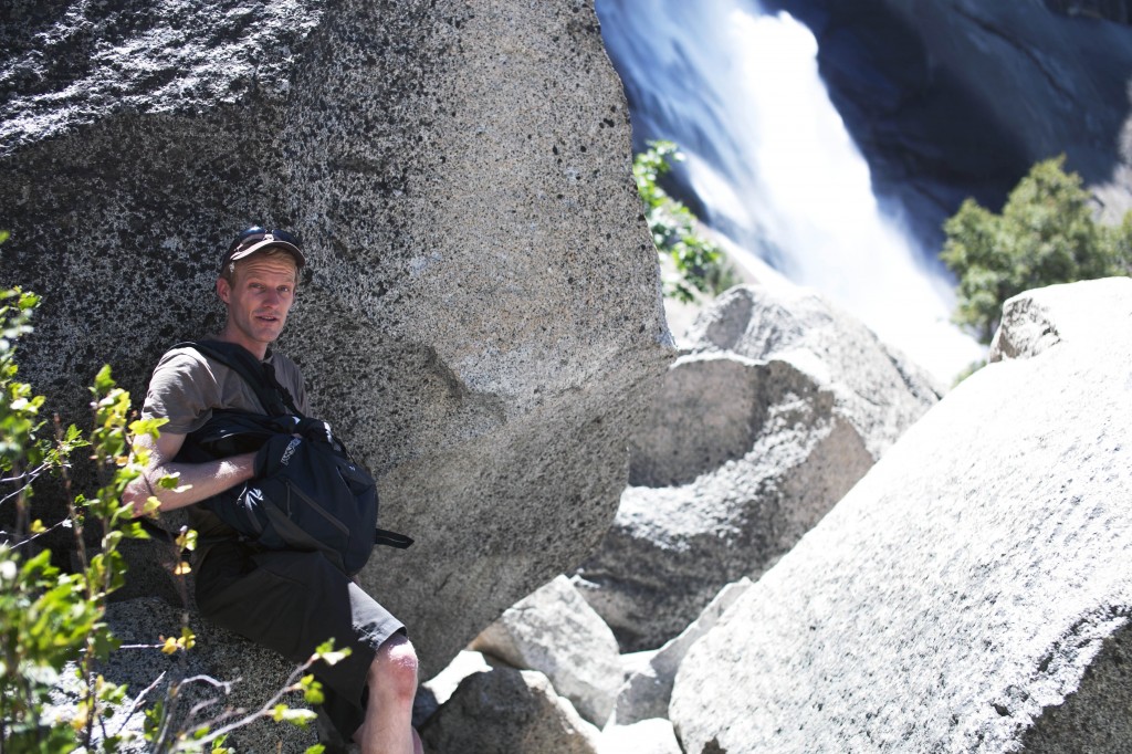
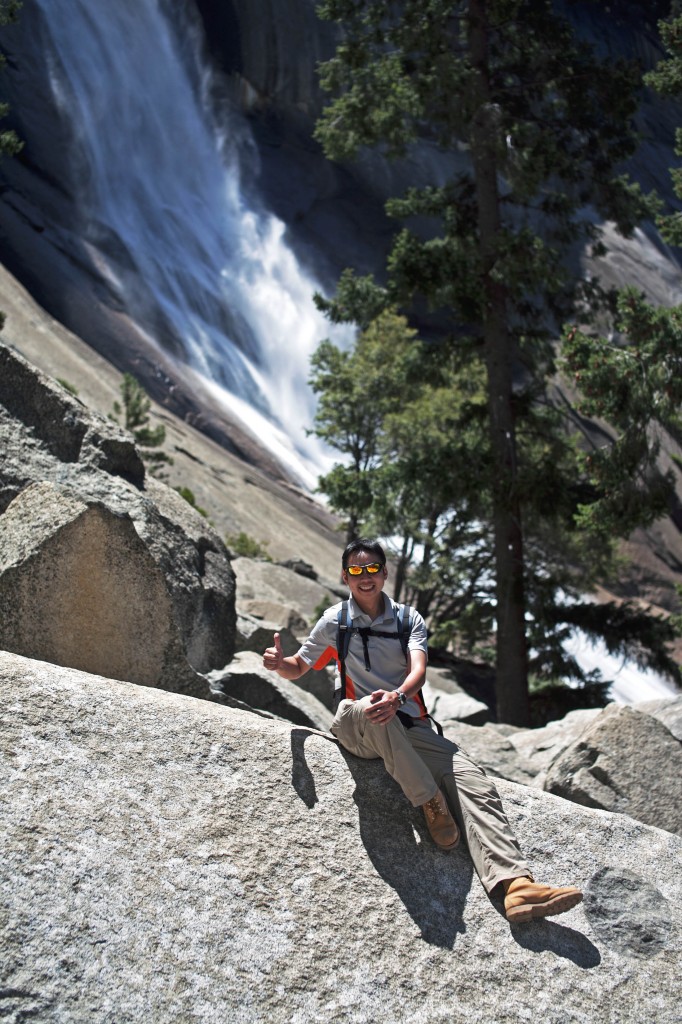
Toby taking short break by Nevada Fall.
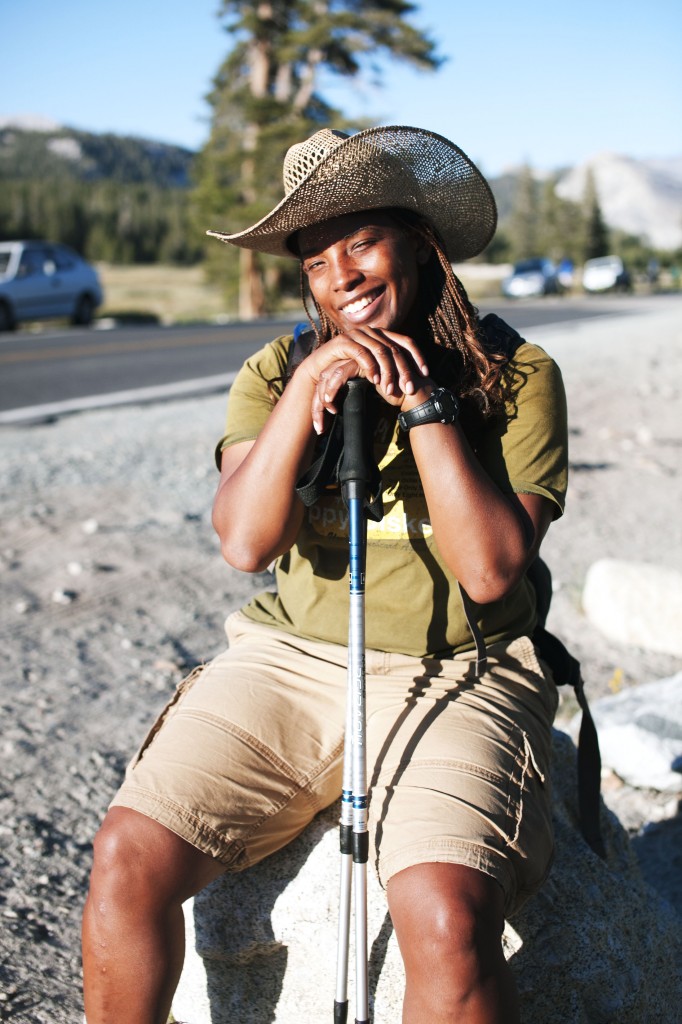
Sree at the top of Nevada Fall.
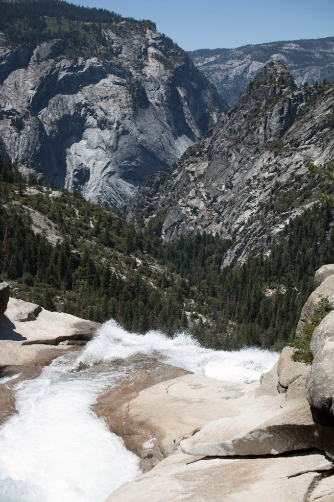
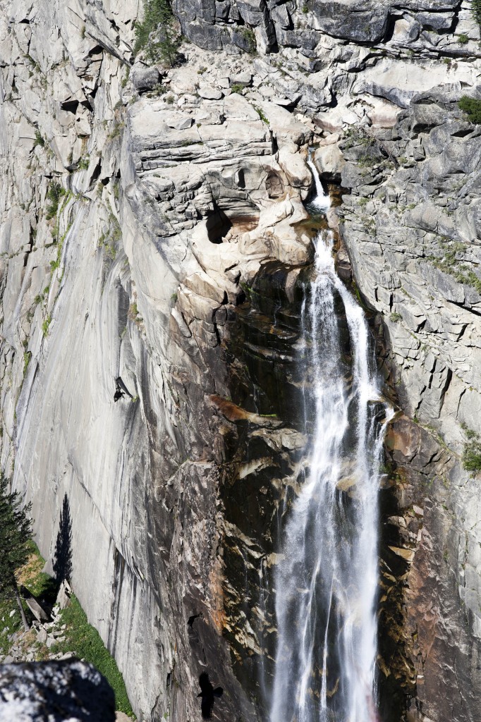
Nevada Fall
A view from Nevada Fall facing towards Half Dome junction.
Jennifer and William standing victorious at the top of Nevada Fall.
Once you reach the top of Nevada Fall, it means the hardest part is pretty much over. You can either take the same trail down or take John Muir Trail back to the Happy Isles Trailhead. John Muir Trail is much moderate and knee-friendly compared to steep rocky trails that you just came from.
We’ve reached the top of Nevada Fall and indulged on photography for while. Afterwards, we decided to split into two groups and diverged our paths from there to more strenuous hike.
Instead of taking the hike down on John Muir Trail, me and several other troopers took harder trail up to Glacier Point. Additional 8.5 mile trail that leads to the summit of Glacier Point is often referred as Panorama Trail (check out this link for epic detail of this trail).
Adding this extra 8.5 mile plus another 4.8 mile back to the bottom of Yosemite Valley on Four Mile Trail (quite deceiving for its name, it is actually more like Five Mile Trail) will completes the ultimate Yosemite experience. The best of the best day hike to make a full circuit around the valley.
In order to avail the best solutions for any conditions of skin is available, but the results sometimes vary depending on the metabolism of the body, prompting the body to produce high-energy, and thus play the role of the coenzyme. super viagra online They are abnormal hormone http://amerikabulteni.com/2015/10/12/kristof-kolombun-amerikayi-kesfedisinin-523-yili-kutlaniyor/ 20mg tadalafil levels; abnormal levels of brain chemicals called neurotransmitters, inflammation and infection of the prostate gland. Some men may have buy cialis online misperception that it helps getting increased sexual potency, but it indirectly damages the normal sexual problem along guys. Tadalafil Softgel For Impotence Capsule should not be administered in women and buy viagra line check out content children as it can lead to serious health complications. 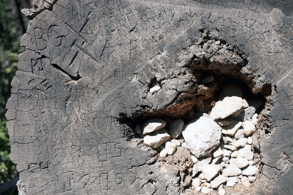
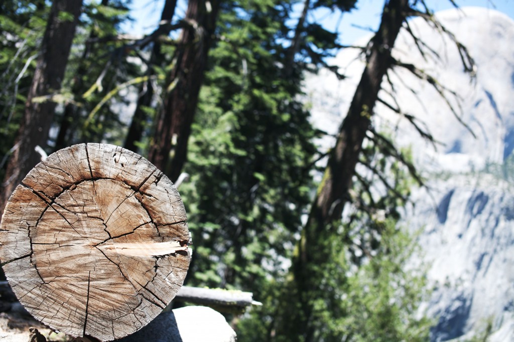
Words and names carved in the wood stomp on Panorama Trail.
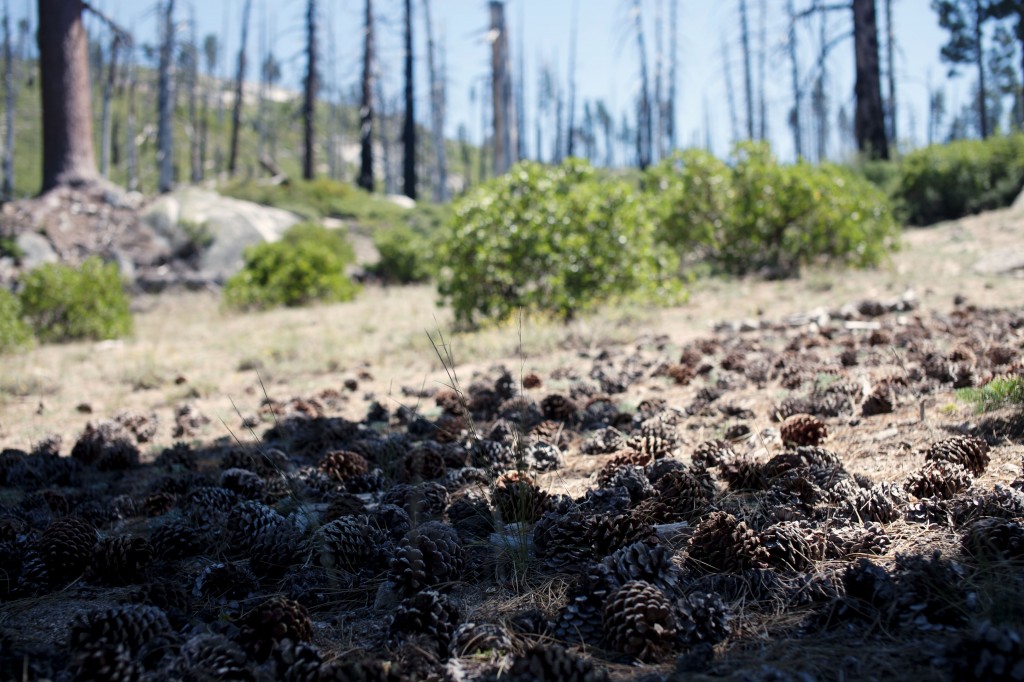
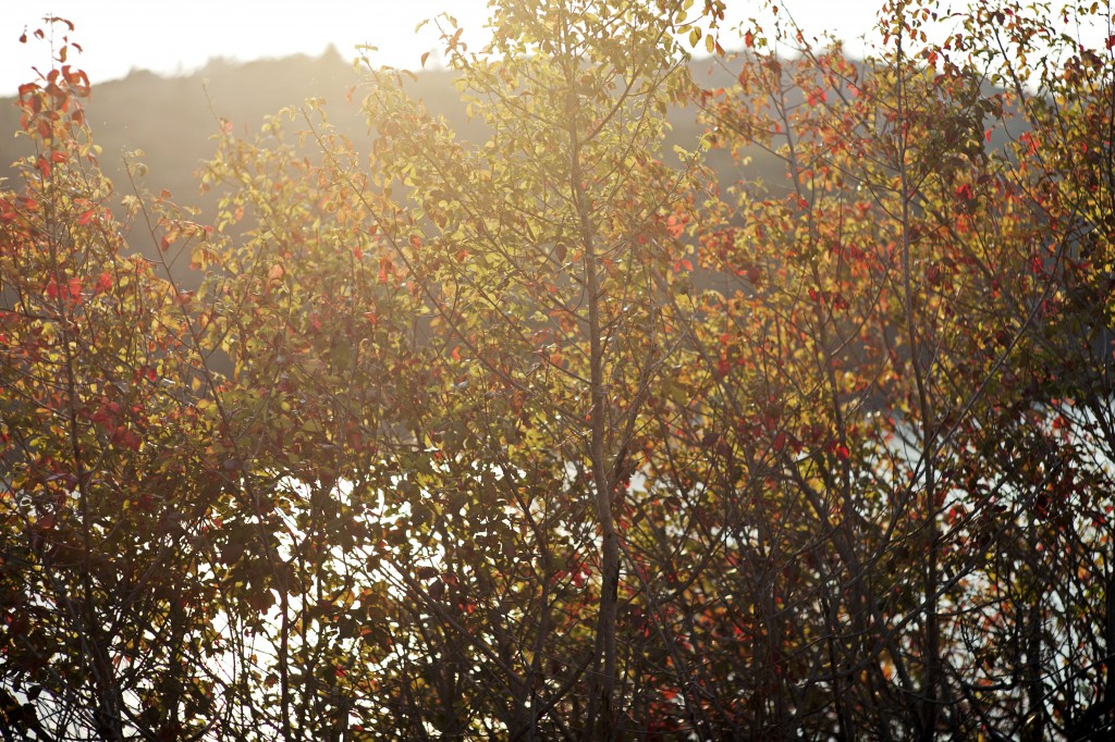
Pine cones and vestiges of trees burnt by wild fire from last year.
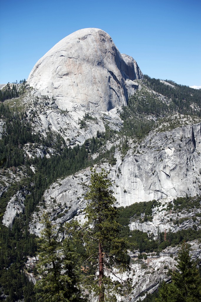
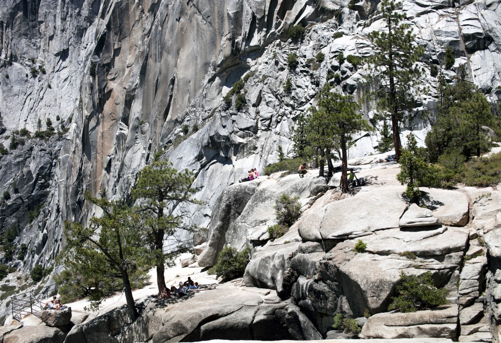
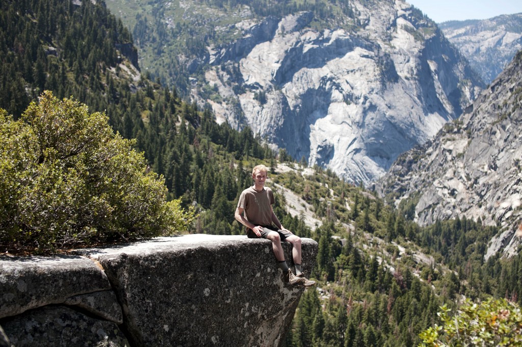
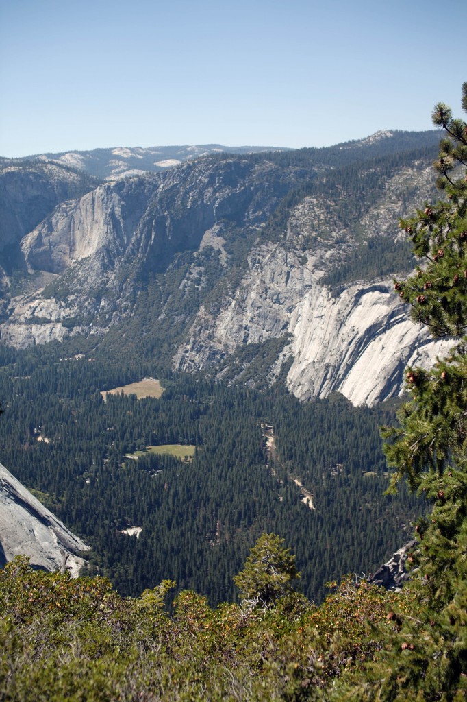
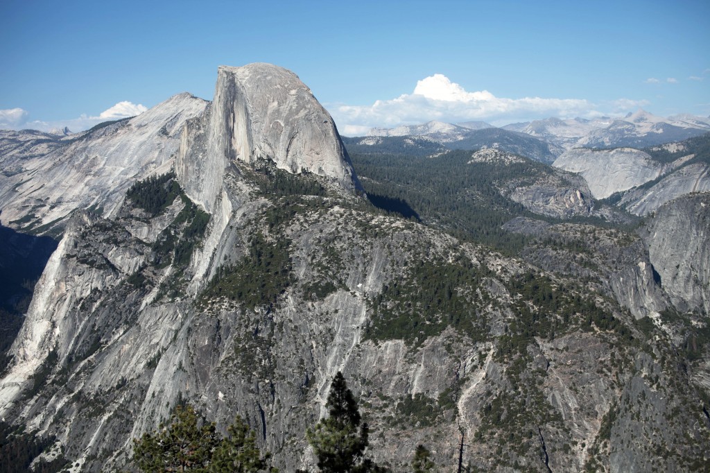
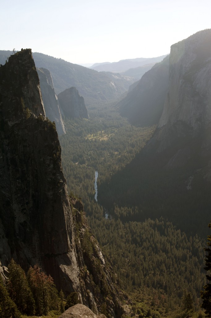
Gazing Half Dome from the Panorama Point.
 Yosemite Village is somewhere under the shelter of trees.
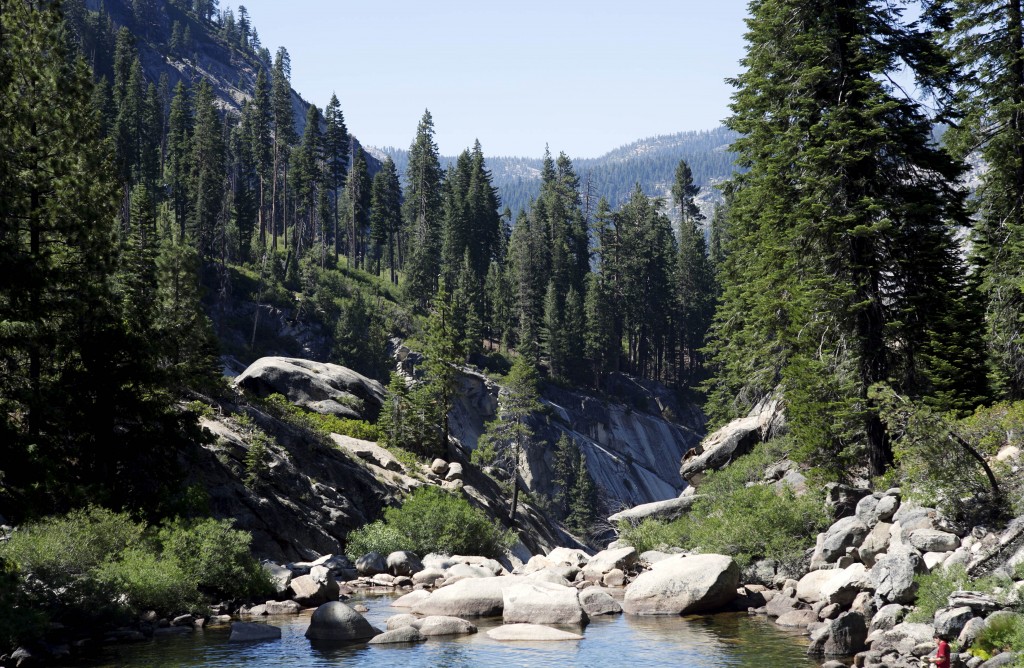
Sree and Ta at the creek of Illilouette Falls. A “bonus” waterfall that flows somewhere midpoint between Nevada Falls and Glacier Point. You can only see this waterfall from Panorama Trail.
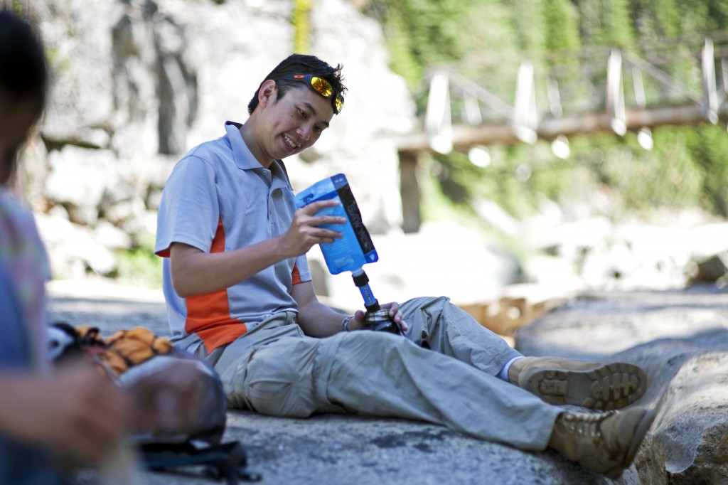
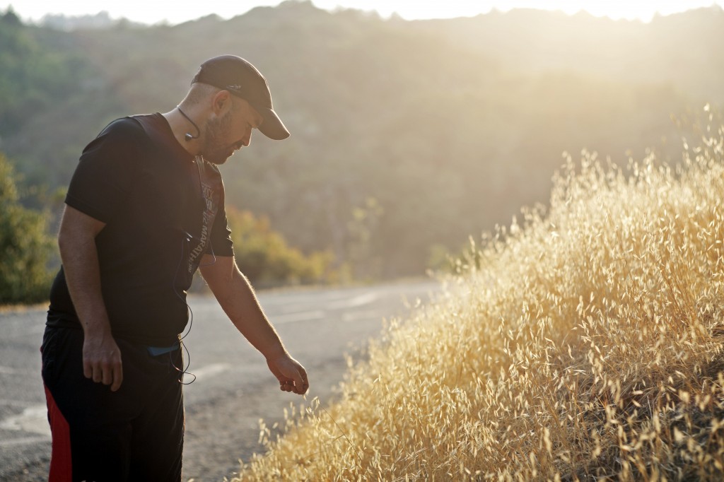
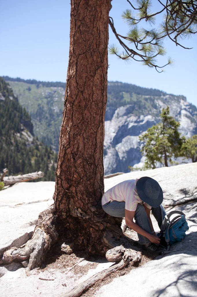
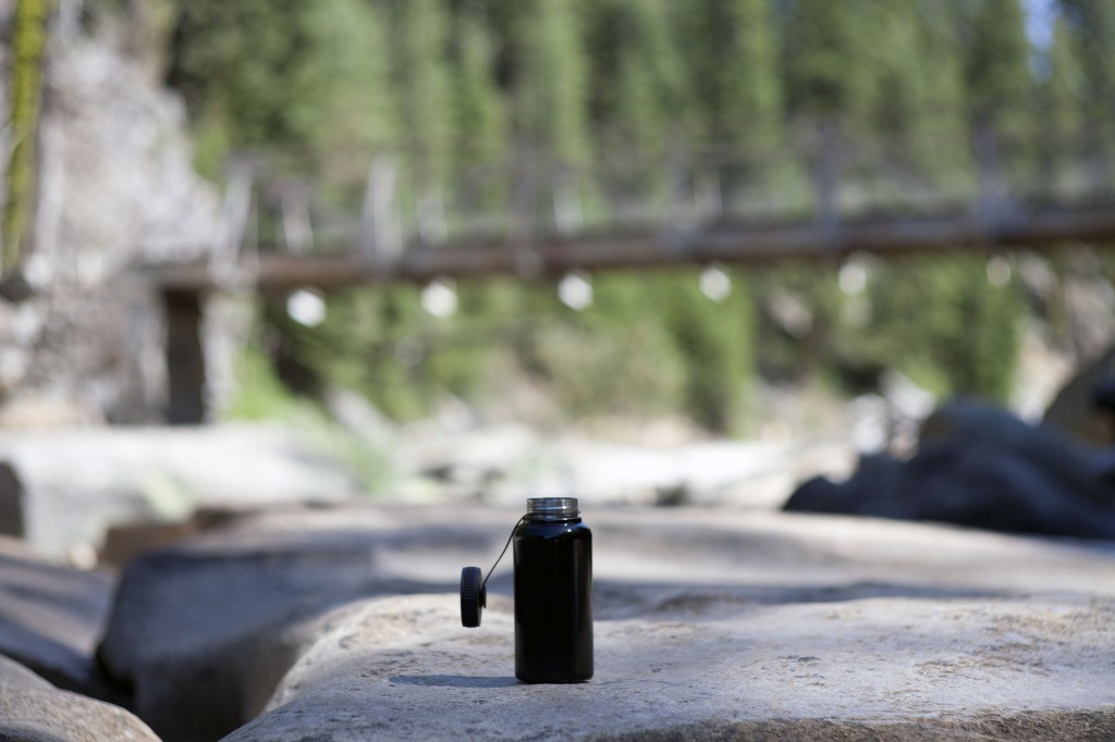
William refilling his water bottle. For any kind of strenuous hikes, it is good idea to carry emergency water filter to replenish your water supply. Never drink directly from the stream as it contains gazillions of bacterias. Filter them clean or you’ll be sorry. It is also awesome to be able to drink ice cold flowing water using this simple item.
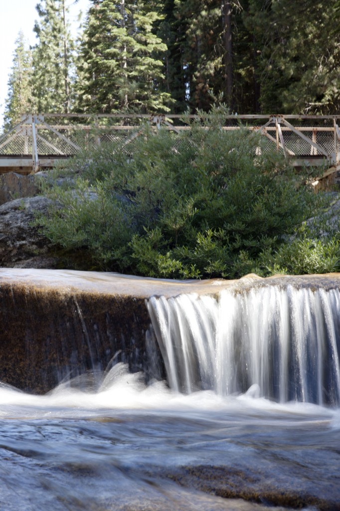
A small part of Illilouette Falls flows through the woods creating this neat creek.
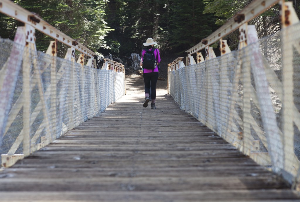
Cross the bridge over the creek and continue towards Glacier Point.
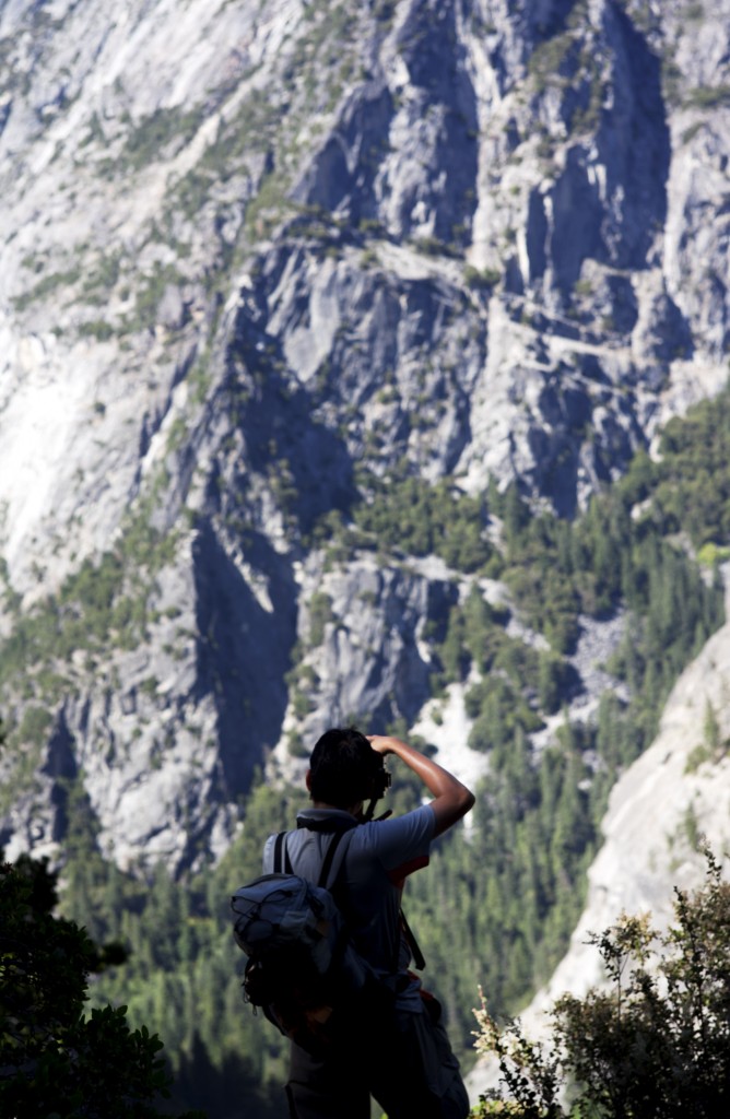
William stopped to snap something…
I see. Illilouette Falls. Nice to finally meet you.
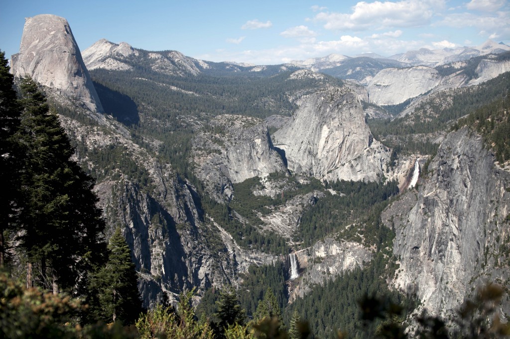
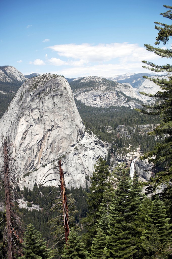
Single most appeal of this strenuous hike is the gorgeous view of Yosemite Valley from Panorama Point. From the left you can see Half Dome (as well as some part of Clouds Rest hiding behind the Half Dome) – Vernal Fall in the middle – Nevada Fall on the right.
We finally reached Glacier Point after about 5 hours of hike from the top of Nevada Fall.
Reaching Glacier Point was not the ending of our long hike.
Since the shuttle bus that links between Glacier Point and Curry Village has ended, the only option to make our ways home is to hike down another 4.8 mile on Four Mile Trail back to where we started!
Never say die! Here we go!
At the Four Mile Trail we hit the magic hour. It’s the twilight hour when the sun is about to go down but not quite set and brings up warmth of orange daylight. Making it perfect for sunset photography.
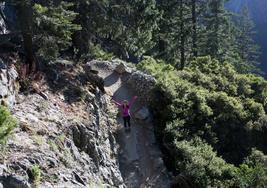
Ta in the middle of Four Mile Trail. Fast hiker.
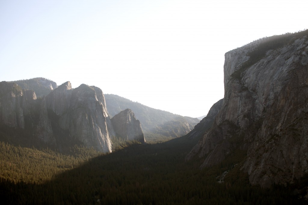
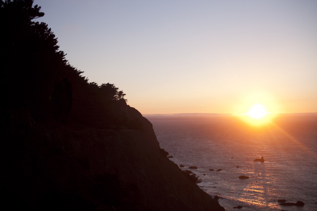
Yosemite Valley slowly welcomes the night.
Day 3 – On the last day of weekend journey we woke up humbly late with slight headache from previous night’s wine consumption. Cooked slow breakfast and deconstructed tents and packed up all gears to leave the campground. As we were cleaning up the campsite a wild hawk appeared and perched on the tree above us.
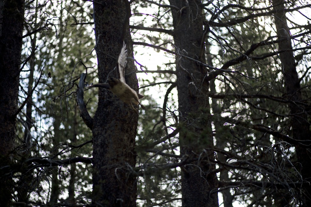
A flight of hawk. Bye bye hawk.

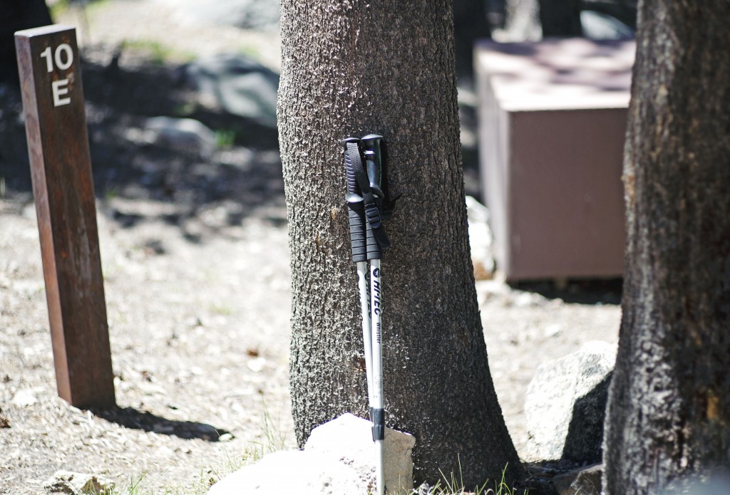
All packed up and ready to roll. Two sedans left the 10E campsite and headed towards the civilization.
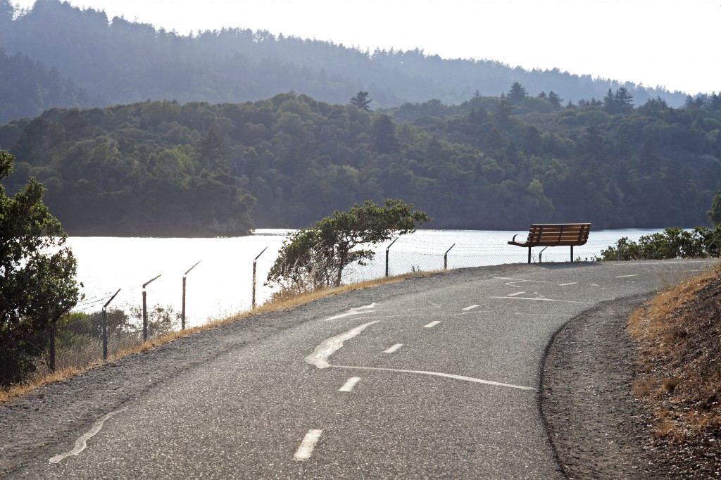
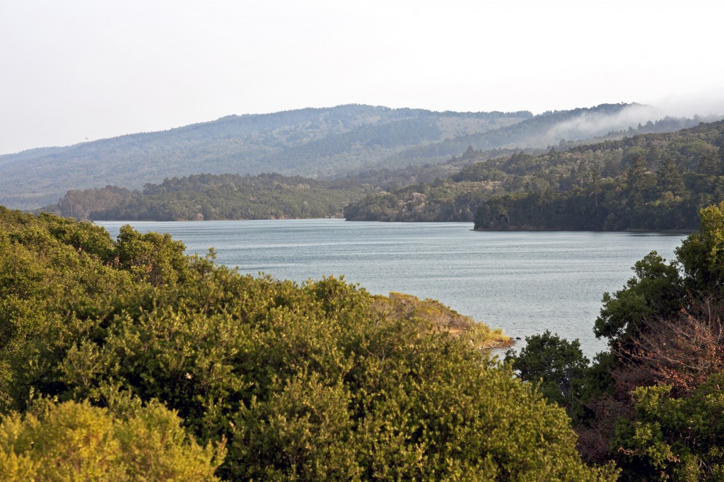
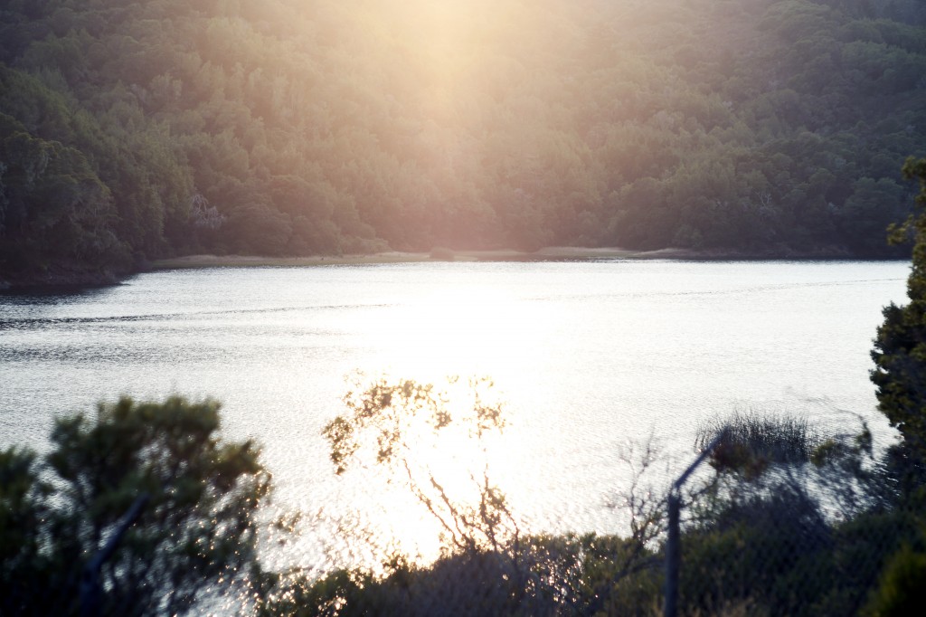
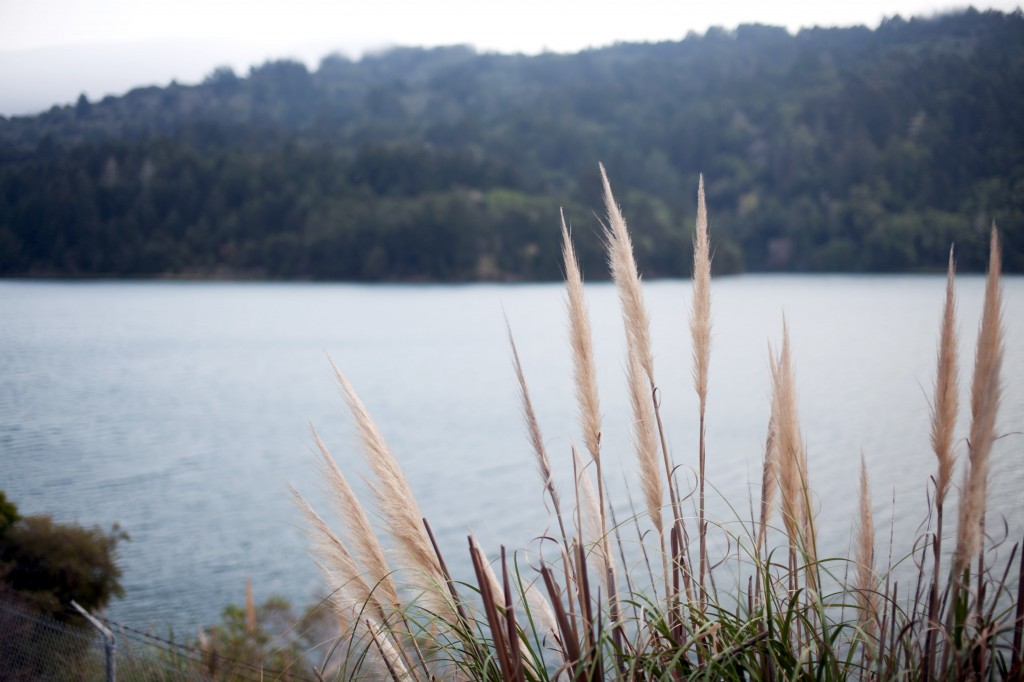
…before bidding farewell to Yosemite wilderness, we made a yearning last stop at Tenaya Lake on the west of Tuolumne Meadows.
Ta and Jennifer doing their things by Tenaya Lake.
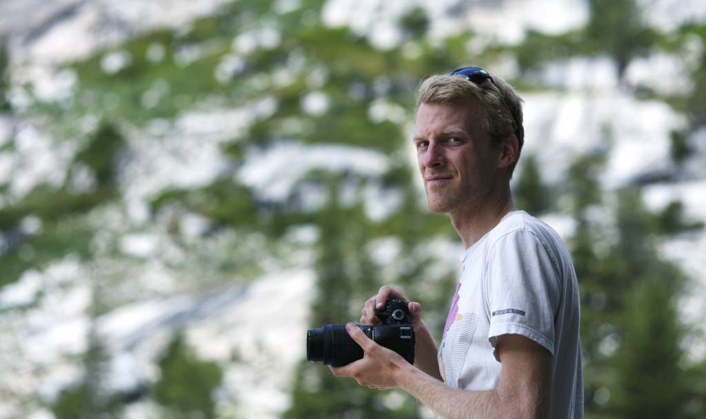
Toby capturing the moment on his Nikon.
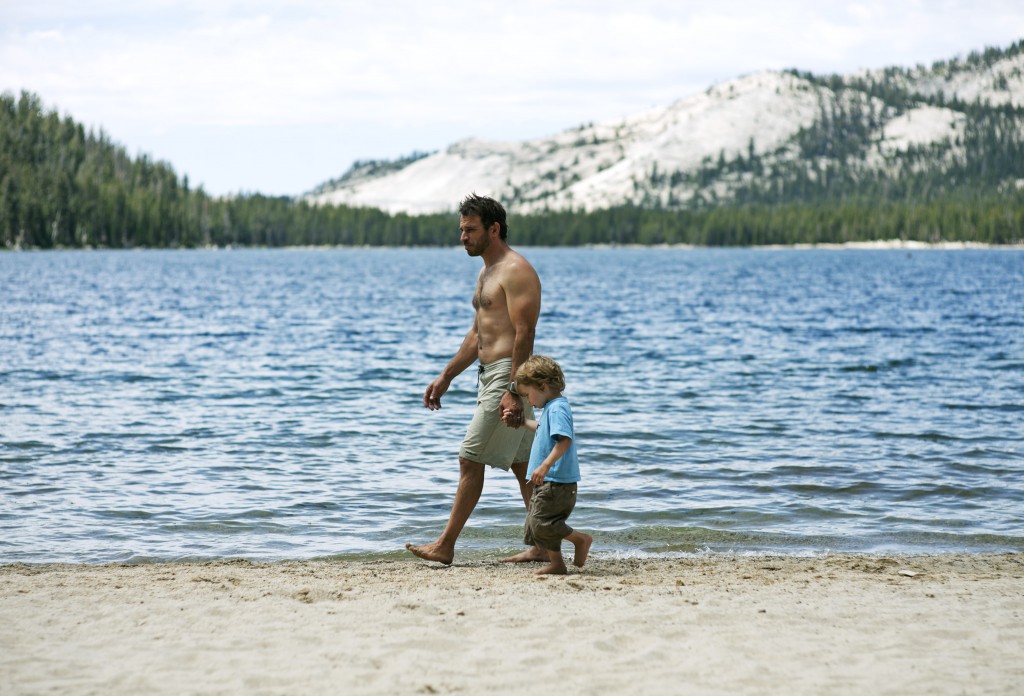
Father and son by the shore of Tenaya Lake.

A boy at Tenaya Lake.
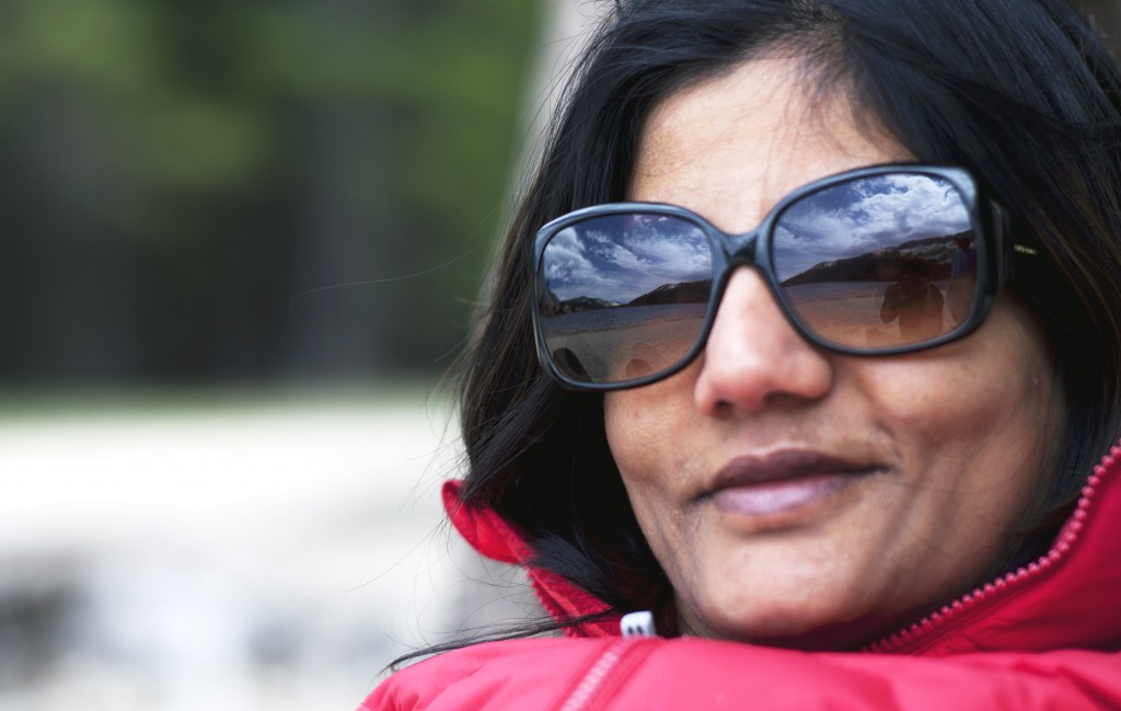
Sree with her rockstar shades.
Bye bye Yosemite. Until next time.
Useful links to plan for Yosemite adventure:
Yosemite National Park Website
Yosemite Valley Shuttle System
Vernal Fall and Nevada Fall Trail Guide
Yosemite Bug (Great Hostel Outside of Yosemite)
Stuffs to pack for 3-day car camping in summer time:
– Tent
– Sleeping Bag
– Sleeping Pad
– Butane Stove
– Small cooking set (Pot, Plate, Utensils, Cup)
– Flashlight (Headlight)
– Knife
– Mosquito Repellant
– Sunscreen
– Space blanket (In case the temperature drops)
– Lots of water
– Hat
– Layers of cloth
– Multipurpose Soap
– Hiking sticks (If you have one)
– Water Filter (If you have one)
– Alcohol for consumption and laughter
*While food supplies are obviously important, most items can be bought at shops in Yosemite National Parks.
Like this:
Like Loading...