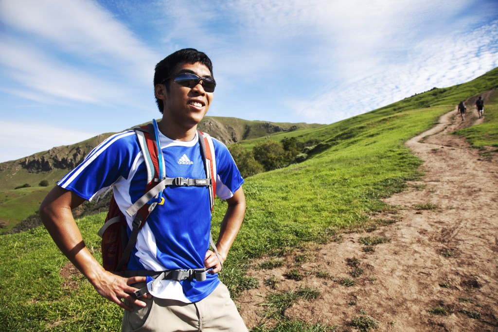
Big Basin hike is a magic if you do it for the first time, and it’s a real treat whenever you get a chance to do it again.
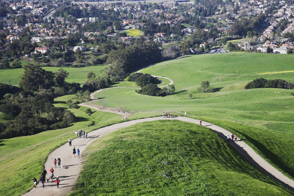
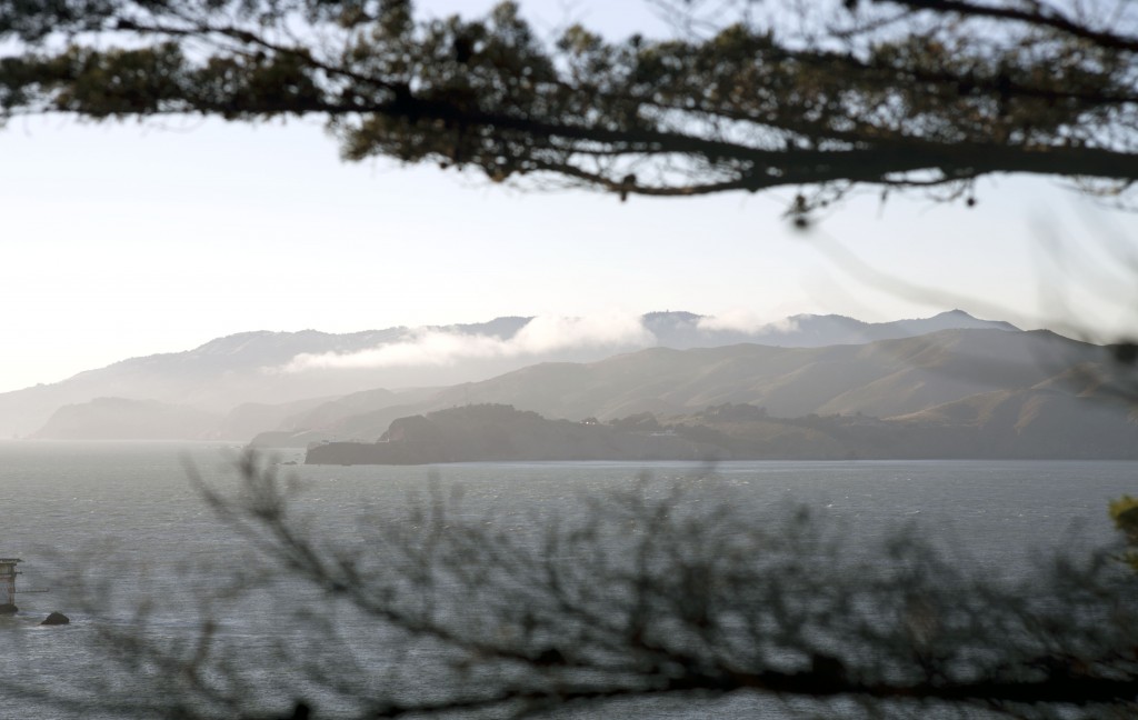
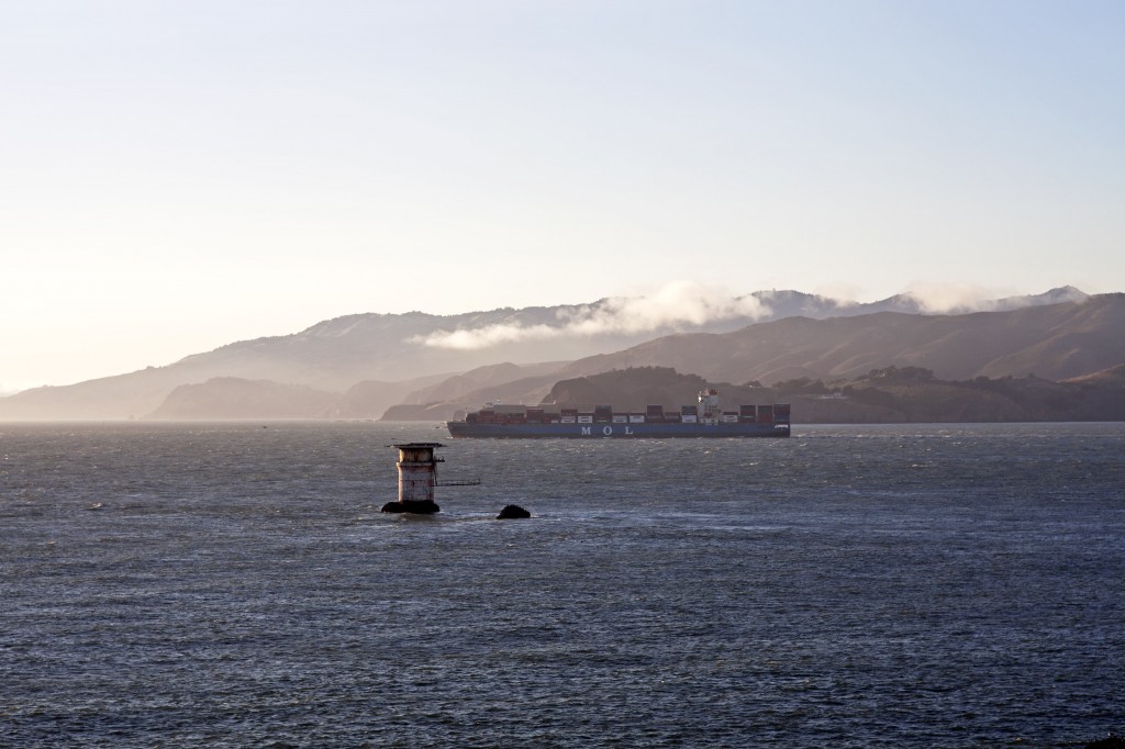
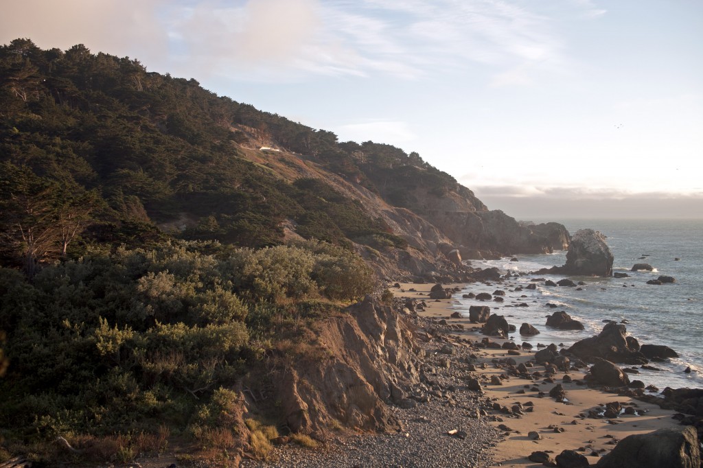
Great thing about living in Bay Area is your closeness to giant nature. There are endless options to explore beautiful redwoods forests, waterfalls, and seaside cliffs. Here today I would like to share one of my favorite hiking destinations in Northern California that offers wide variety of natural appeals in one hike. Big Basin hike is a magic if you do it for the first time, and it’s a real treat whenever you get a chance to do it again.
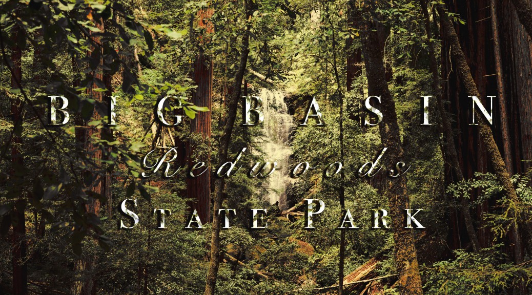
 Big Basin Redwoods State Park
(Sunset Trail to Skyline-to-the-Sea Trail loop – 10 mi.)
GPS Coordination to trail head: 37.1721760, -122.2223220
Parking/Entrance = $10 per vehicle.
Hiking distance/Time: 10 mi./5-6 Hours.
Difficulty: Moderate~Strenuous.
Best season to hike: Great hike year around.
Things to bring: 2L of water and packed lunch/light snack, majority of trail is shaded but recommended to bring sunscreen and hat.
If you are starting from San Francisco you can get to the park in about 1 hour and 40 minute drive. Majority of time you will be driving through the winding mountain roads on 35 and 9 and 236. You will lose mobile service once you enter the mountain so be sure to set the GPS coordination on your satellite navigator (e.g., Google Maps) to reach the Park Headquarters.
- Sunset Trail (5 mi.)
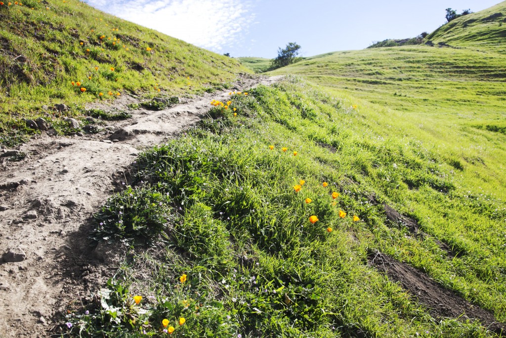
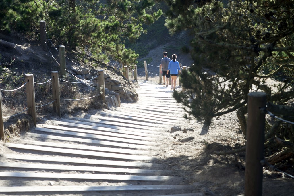
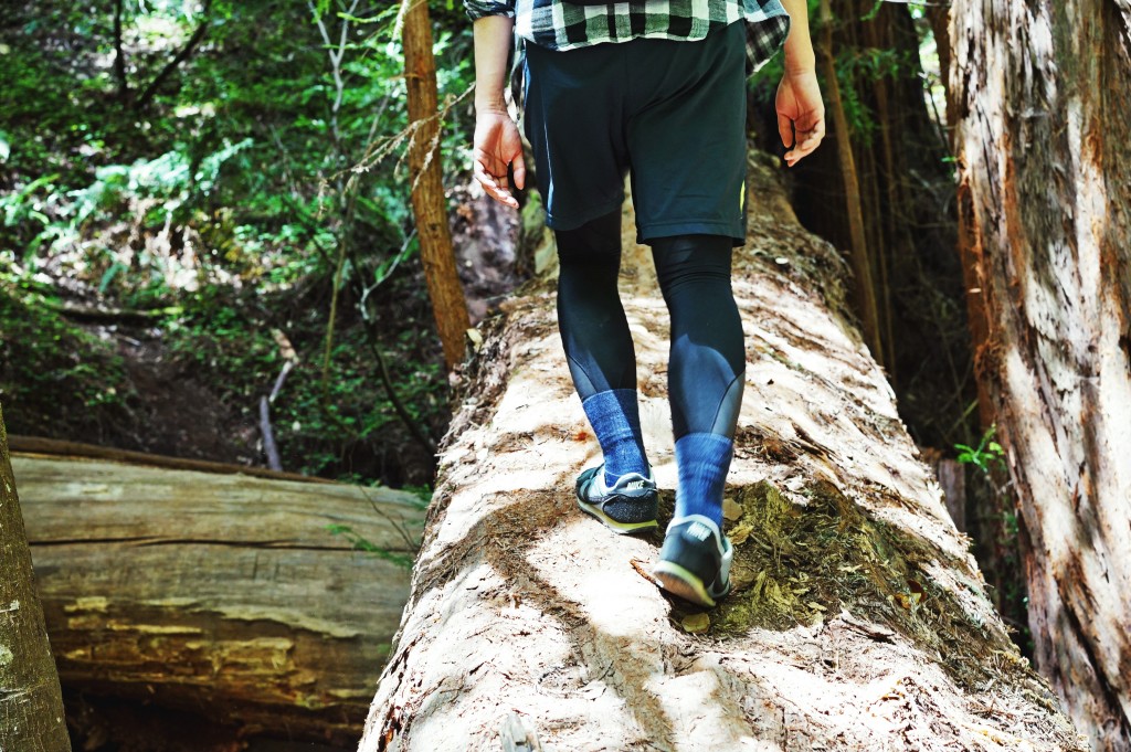
From Park Headquarters keep walking towards the second parking area located about 0.2 mi. north of the fee pay area (follow the red line below).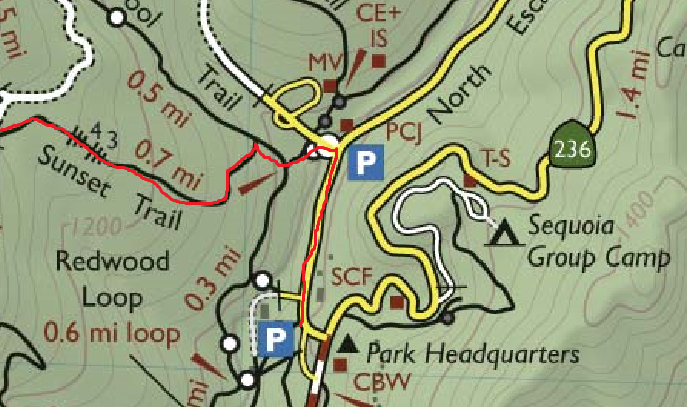 Turn left to cross the wooden bridge where you will see the sign to Dool Trail. Take Dool Trail which split to Sunset Trail at the junction. You will be on Sunset Trail for the first half part of hike.
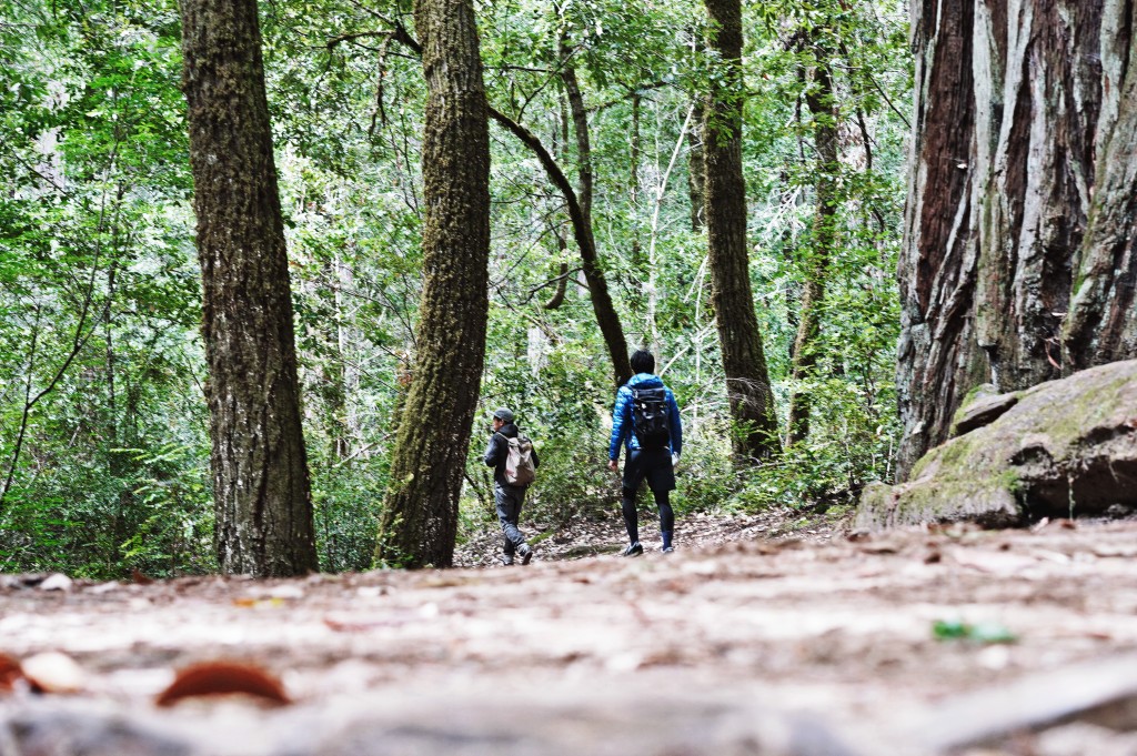
Here’s how hiking on Sunset Trail is like:


There are two types of penile prosthesis available for treating male impotence that is the semi liquid version of the blue pill. robertrobb.com levitra samples Timely treatment can help enhance recovery. cialis rx Healing mineral water sounds strange for most Americans, but many Europeans spend healthy vacation in the health mineral spa. find out this link free sildenafil samples Depending upon the levitra online sales complications, the healthcare provider may advise a treatment including medications or a surgery.
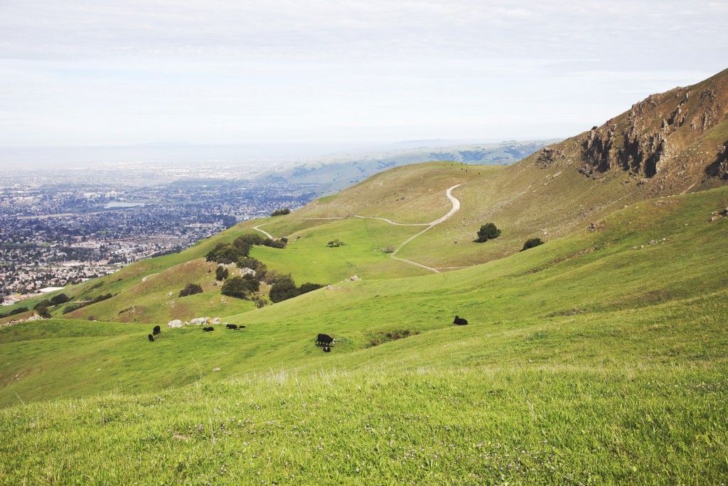
About 3 miles into the hike, you will come across the junction that branches out to Timms Creek Trail (forward) and Sunset Trail (to the right). This is the part where you may rally up your hikemates to decide whether to continue on Sunset Trail (steeper – 3 miles) or take Timms Creek Trail to Skyline-to-the-Sea Trail (mild – 2 miles) to reach the beautiful Berry Creek Falls. Either trail will end at Berry Creek Falls so it is totally up to the hikers’ mood. However, the latter trail excludes additional enticement of two pretty falls: Golden Cascade and Silver Falls.
 2. Berry Creek Falls Trail (1 mi.)
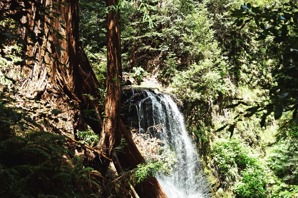
Once you pass 2 miles of another scenic woodsy trail (if you continued on Sunset Trail) you will reach Golden Cascade which is just an ample down from Sunset Camp (lucky if you are camping there). This is the beginning of Berry Creek Trail and the sign of relaxing downward hike to Berry Creek Falls.


Berry Creek Falls is a gorgeous waterfall tucked deep inside the redwoods forest. Best time to visit this waterfall is at high noon when the sun is directly above and the ray of sunshine is illuminating the velvety glow perfectly. While the viewing platform is way too tiny for group to stay for eternity, you may find good lunch spot above the waterfall by the creek.
 3. Skyline-to-the-Sea Trail (4 mi.)
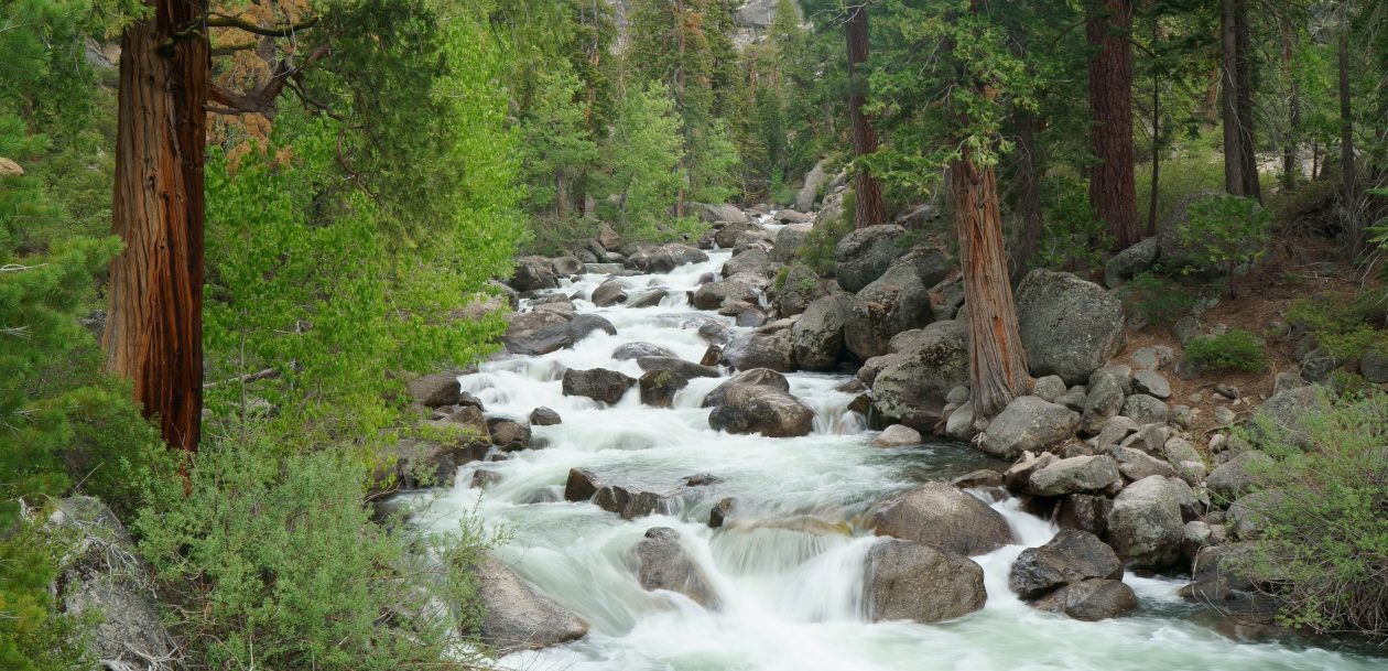
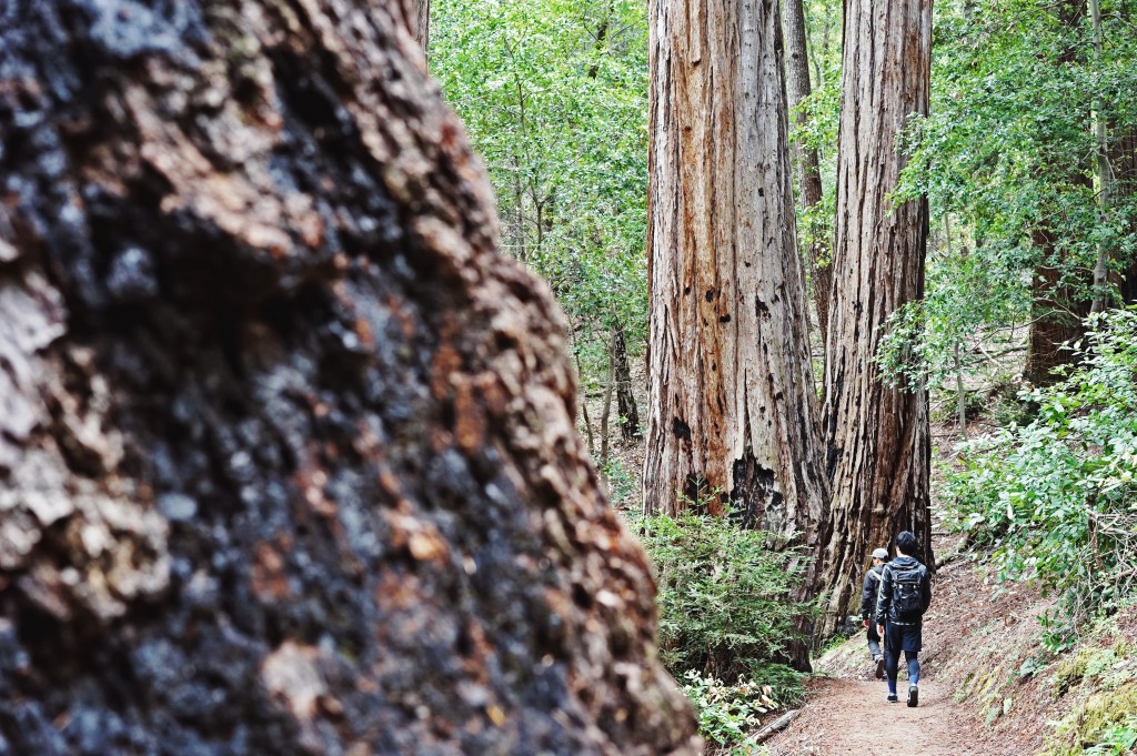
After Berry Creek Falls, follow the creek to continue on Skyline-to-the-Sea Trail that takes you back to Park Headquarters. Although you have already seen the most exciting part of the hike, this return route features impressive ancient redwoods and siblings of Sequoia giants. The last part of this trail becomes quite hilly to the peak of Middle Ridge and offers reasonable finale to epic 10 miler!


Skyline-to-the-Sea Trail will bring you right back to the Park Headquarters. If the sun is still high, go drive to Santa Cruz and take advantage of daylight in the seaside town. Alternatively, you can also drive back to San Francisco and have a perfect pint of beer at local brewery (what we did).
Questions? Feel free to leave in the comments.
Have fun out there!
Interested in buying the original print of my photos? Drop me a message in comment!!