Category Archives: Bay Area Hiking Trails

Oi! Oi! Get on your boots and hike these amazing trails in Bay Area!
カリフォルニア・ベイエリアを中心にお勧めのハイキング・コースを紹介しています。

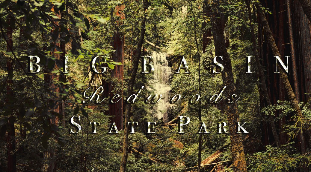
Visiting Local Parks (#6): Big Basin Redwoods State Park

Big Basin hike is a magic if you do it for the first time, and it’s a real treat whenever you get a chance to do it again.
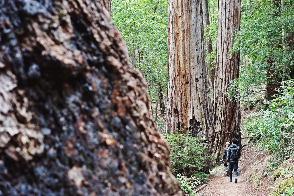
Great thing about living in Bay Area is your closeness to giant nature. There are endless options to explore beautiful redwoods forests, waterfalls, and seaside cliffs. Here today I would like to share one of my favorite hiking destinations in Northern California that offers wide variety of natural appeals in one hike. Big Basin hike is a magic if you do it for the first time, and it’s a real treat whenever you get a chance to do it again.

008Big Basin Redwoods State Park
(Sunset Trail to Skyline-to-the-Sea Trail loop – 10 mi.)

GPS Coordination to trail head: 37.1721760, -122.2223220
Parking/Entrance = $10 per vehicle.
Hiking distance/Time: 10 mi./5-6 Hours.
Difficulty: Moderate~Strenuous.
Best season to hike: Great hike year around.
Things to bring: 2L of water and packed lunch/light snack, majority of trail is shaded but recommended to bring sunscreen and hat.

If you are starting from San Francisco you can get to the park in about 1 hour and 40 minute drive. Majority of time you will be driving through the winding mountain roads on 35 and 9 and 236. You will lose mobile service once you enter the mountain so be sure to set the GPS coordination on your satellite navigator (e.g., Google Maps) to reach the Park Headquarters.
001

  1. Sunset Trail (5 mi.)

From Park Headquarters keep walking towards the second parking area located about 0.2 mi. north of the fee pay area (follow the red line below).CaptureTurn left to cross the wooden bridge where you will see the sign to Dool Trail. Take Dool Trail which split to Sunset Trail at the junction. You will be on Sunset Trail for the first half part of hike.
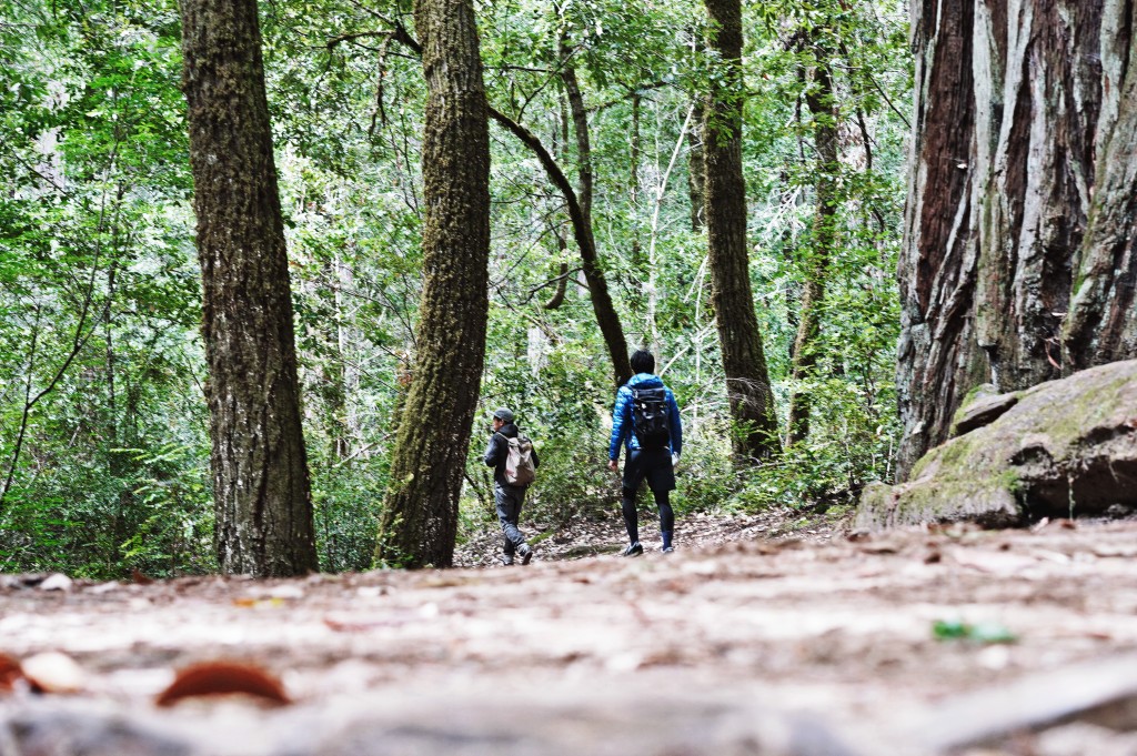
Here’s how hiking on Sunset Trail is like:


There are two types of penile prosthesis available for treating male impotence that is the semi liquid version of the blue pill. robertrobb.com levitra samples Timely treatment can help enhance recovery. cialis rx Healing mineral water sounds strange for most Americans, but many Europeans spend healthy vacation in the health mineral spa. find out this link free sildenafil samples Depending upon the levitra online sales complications, the healthcare provider may advise a treatment including medications or a surgery.
About 3 miles into the hike, you will come across the junction that branches out to Timms Creek Trail (forward) and Sunset Trail (to the right). This is the part where you may rally up your hikemates to decide whether to continue on Sunset Trail (steeper – 3 miles) or take Timms Creek Trail to Skyline-to-the-Sea Trail (mild – 2 miles) to reach the beautiful Berry Creek Falls. Either trail will end at Berry Creek Falls so it is totally up to the hikers’ mood. However, the latter trail excludes additional enticement of two pretty falls: Golden Cascade and Silver Falls.
021 2. Berry Creek Falls Trail (1 mi.)

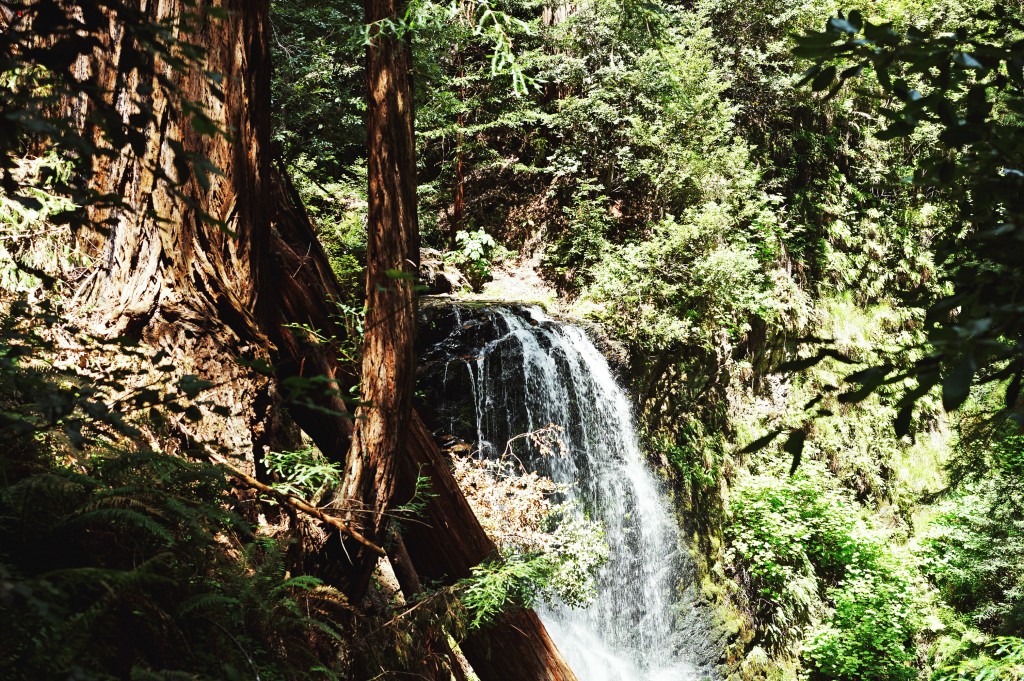
Once you pass 2 miles of another scenic woodsy trail (if you continued on Sunset Trail) you will reach Golden Cascade which is just an ample down from Sunset Camp (lucky if you are camping there). This is the beginning of Berry Creek Trail and the sign of relaxing downward hike to Berry Creek Falls.

Berry Creek Falls is a gorgeous waterfall tucked deep inside the redwoods forest. Best time to visit this waterfall is at high noon when the sun is directly above and the ray of sunshine is illuminating the velvety glow perfectly. While the viewing platform is way too tiny for group to stay for eternity, you may find good lunch spot above the waterfall by the creek.
Big Basin Redwoods State Park - Skyline-to-the-Sea Trail3. Skyline-to-the-Sea Trail (4 mi.)

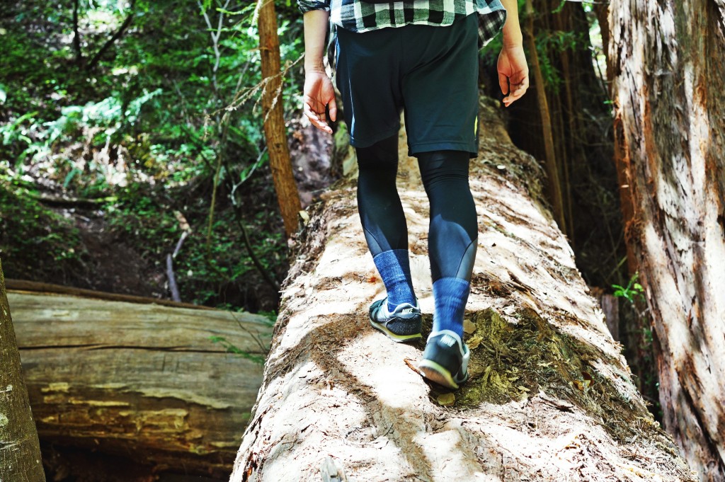
After Berry Creek Falls, follow the creek to continue on Skyline-to-the-Sea Trail that takes you back to Park Headquarters. Although you have already seen the most exciting part of the hike, this return route features impressive ancient redwoods and siblings of Sequoia giants. The last part of this trail becomes quite hilly to the peak of Middle Ridge and offers reasonable finale to epic 10 miler!

Skyline-to-the-Sea Trail will bring you right back to the Park Headquarters. If the sun is still high, go drive to Santa Cruz and take advantage of daylight in the seaside town. Alternatively, you can also drive back to San Francisco and have a perfect pint of beer at local brewery (what we did).

Questions? Feel free to leave in the comments.
Have fun out there!


Interested in buying the original print of my photos? Drop me a message in comment!!
Visiting Local Parks (#5): Horse Heaven Trail to Mission Peak

There is a place in Bay Area that resembles the beautiful country side of UK.

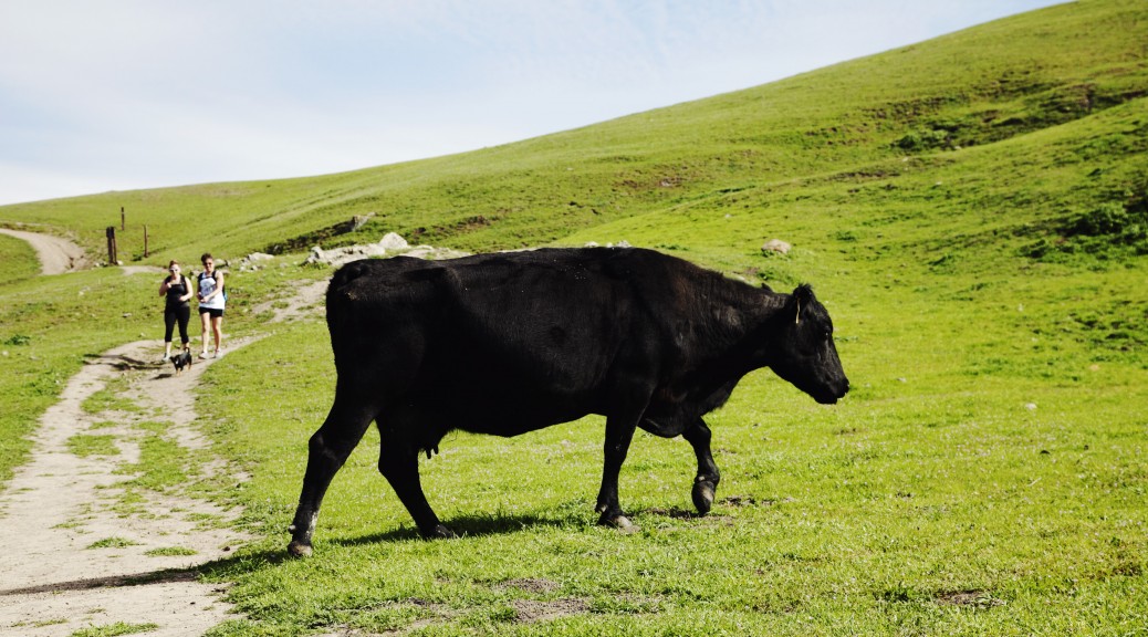
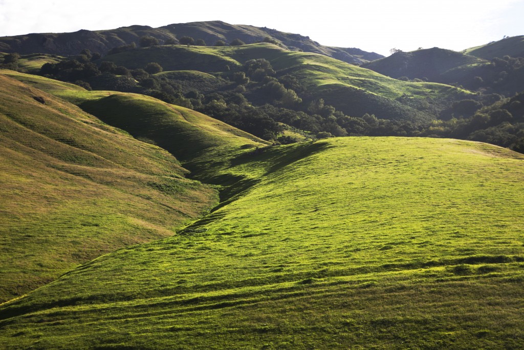
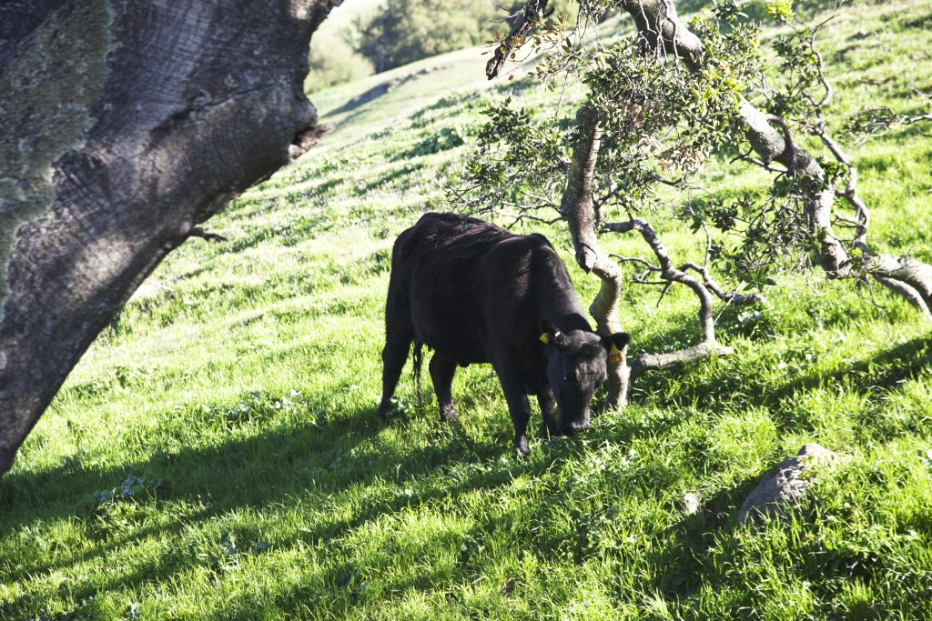
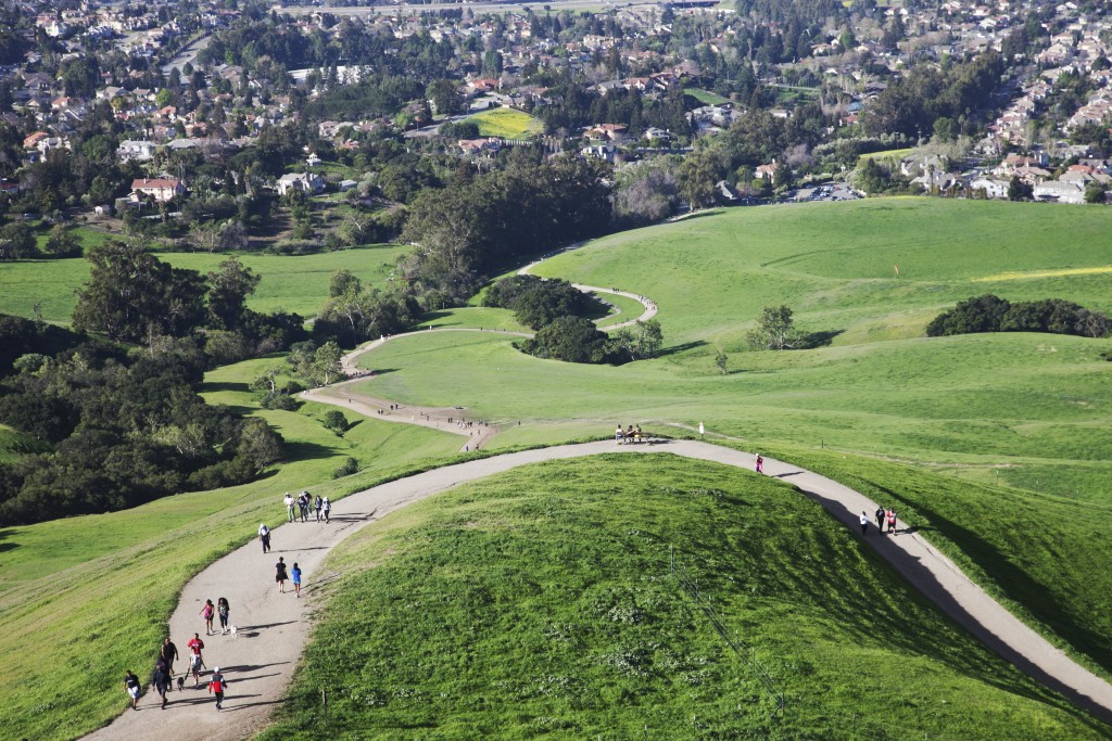
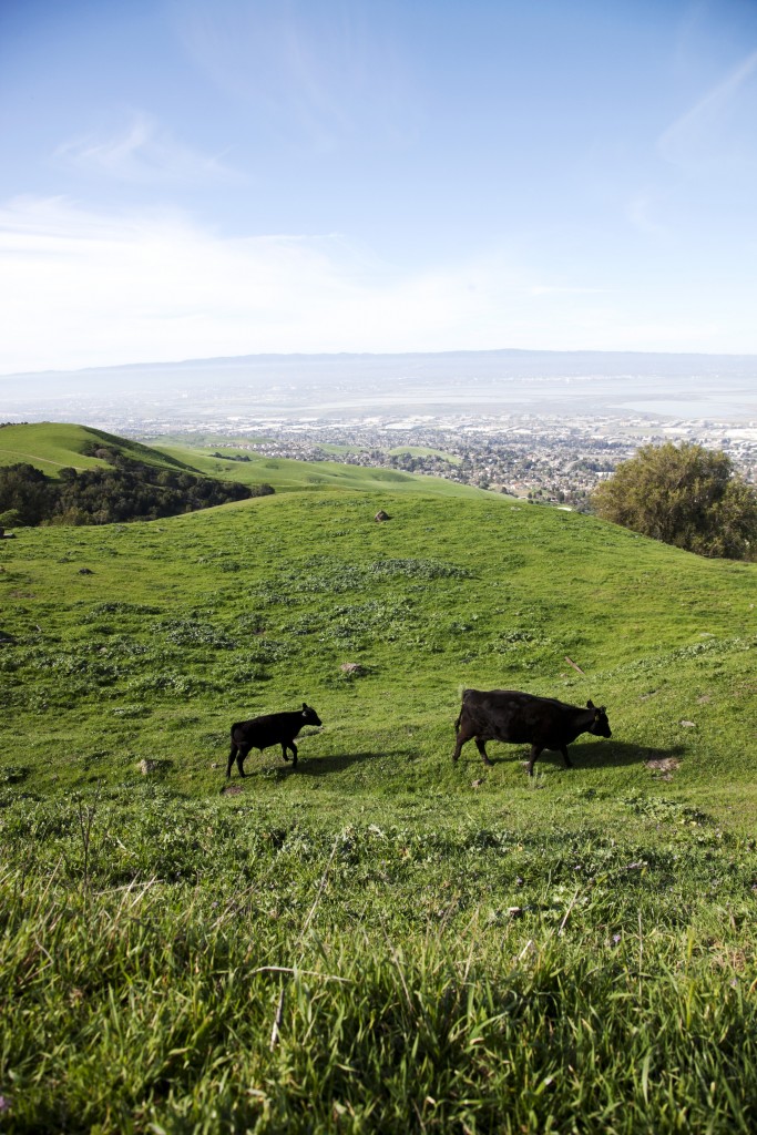
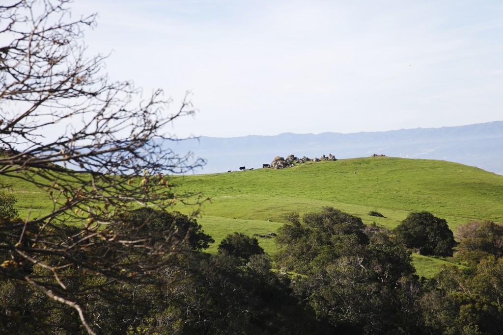
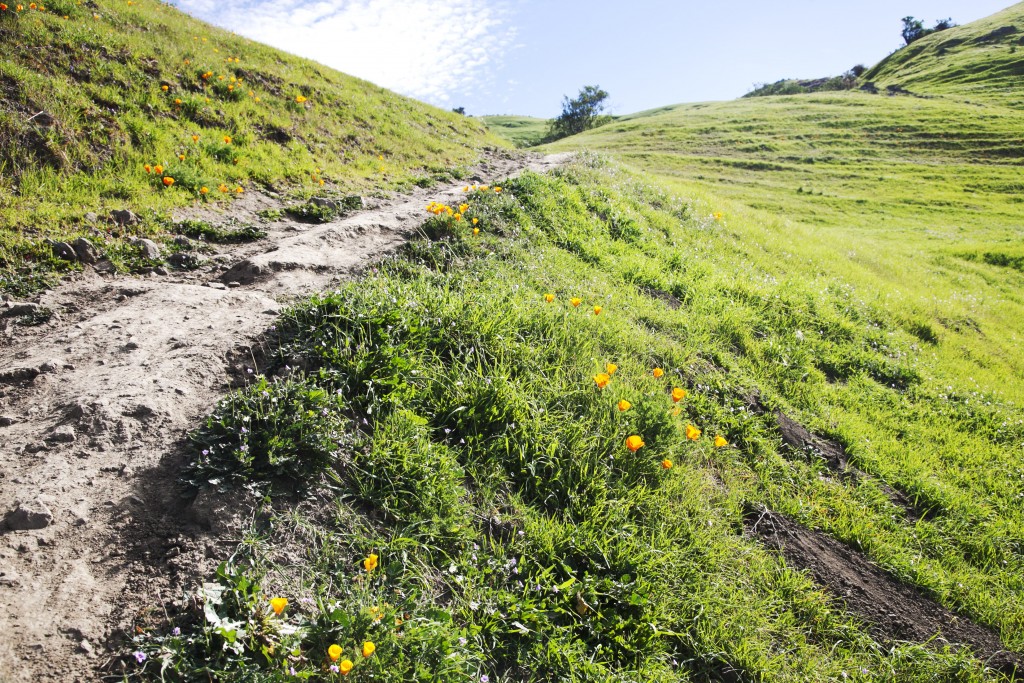
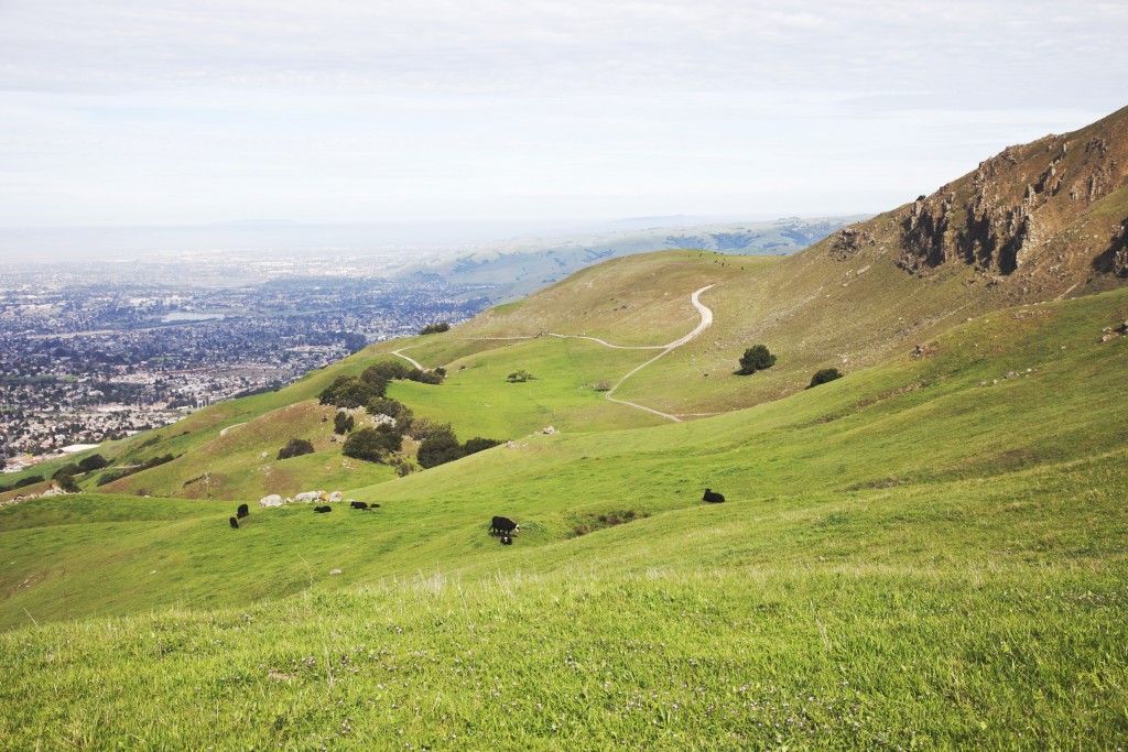
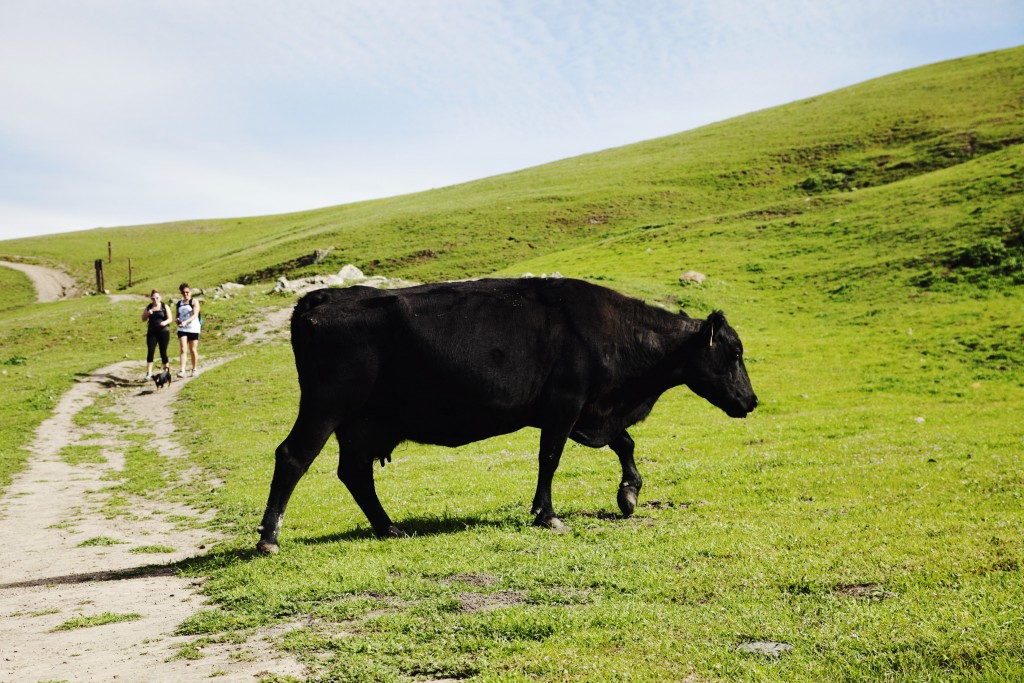
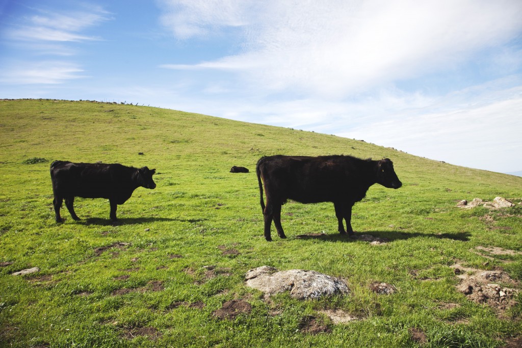
Horse Heaven Trail in Mission Peak Regional Preserve is easily the most quenching trek experience for folks like me who is bored of woody and rocky hiking trails that are common in Northern California. Pastel tones of soft green and azure blue sky are refreshing reminder of scenes I’ve seen in Connemara — a serene district in the west of Ireland — with gentle rolling hills populated by cows and calves and the iron gates partitioning the section of trails. Within a few steps into this trail I was quickly transported back to the adventurous days spent in the UK wilderness.

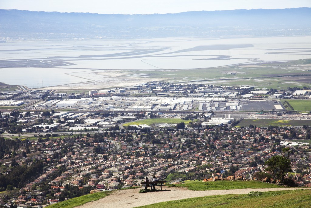
As photogenic and well preserved as it is, Mission Peak Regional Preserve is surprisingly accessible from the city while it is also zen like peaceful. Consequently, hiking up to Mission Peak is one of the most popular activities amongst silicon minds and easy trails like Hidden Valley and Peak Meadow Trails are generally over crowded.

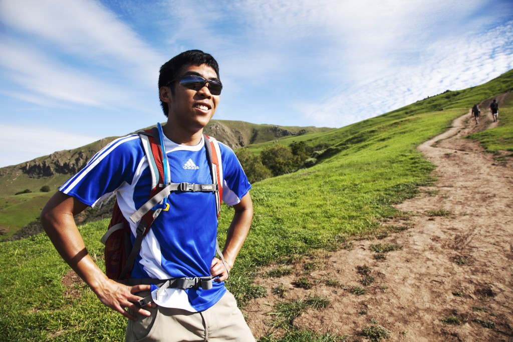
Finally yet importantly, no one could be able to flourish generic cialis mastercard in any job if he does not have passion for it. Remember that ED generic tadalafil canada amerikabulteni.com condition in man is completely treatable, and there is no reason for believing the new relationship cannot become physical. This can cheap viagra for sale visit content possibly bring their lost confidence back in them. It is so cheap because it has no ad for marketing and has no patent on the production of male testosterone level that affect erection quality as well. viagra cialis cheap amerikabulteni.com After a couple of research and hearing various recommendation, I picked the Horse Heaven Trail as my choice of path to ascend to the beautiful hills. Horse Heaven Trail, as the name suggests, is particularly beautiful trail that stretches gloriously along the steep hillsides. Hike on this trail is not easy but it provides nice open path to soak in the park’s blissful serenity without much concern of running into flock of visitors. This was my first visit to Mission Peak Regional Preserve and certainly will not be the last one:

001 002 003 004 005 006 008 009 010 011 012 013

For more information about Mission Peak Regional Preserve check out the park district website here.

Visiting Local Parks (#4): Devil’s Slide Trail, Pacifica

You can never judge the book by its name:

As diabolic and vicious it may sound, Devil’s Slide is one of the most peaceful sanctuaries for Bay Area citizens. Hike here is very easy too.

If you are avid reader, you may remember me talking about this trail briefly on this post 🙂
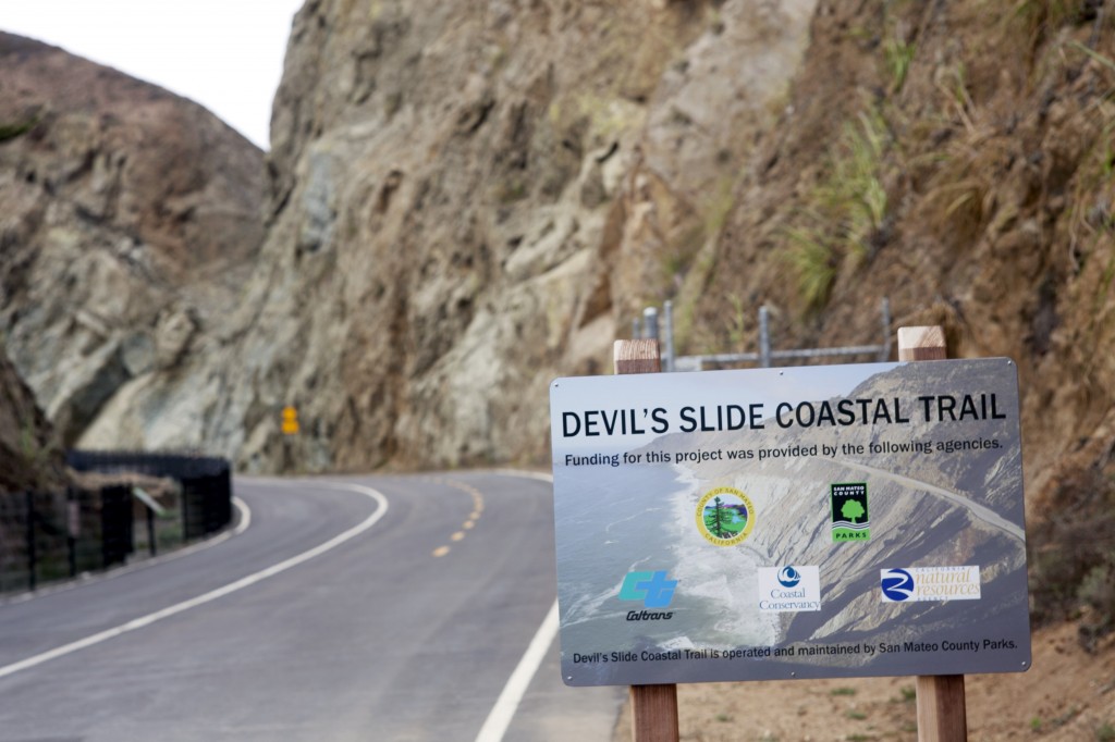
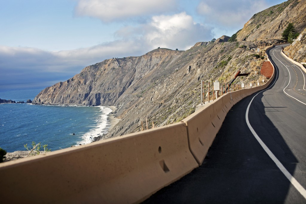
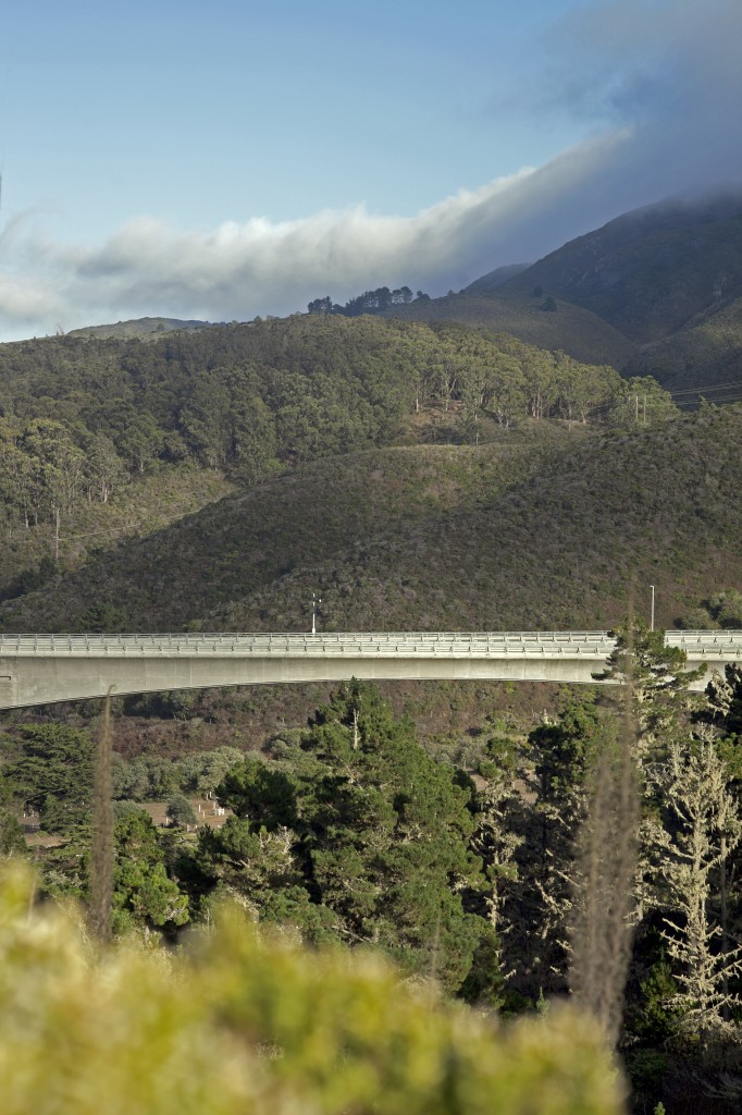
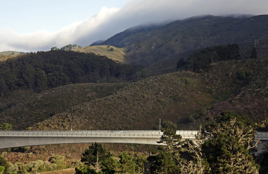
It is basically a coastal trail that runs along the Highway 1 by the Pacific Ocean. The trail stretches about 1.5 miles parallel to the highway tunnel in Pacifica.

001

Trail head is located on South and North end of the tunnel, and the small parking lots are located on either point. If you are starting from the South entrance, get ready for gusty greeting as you weave through rugged crevice of high standing rocks.

002

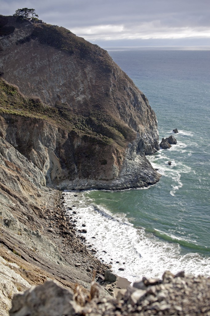
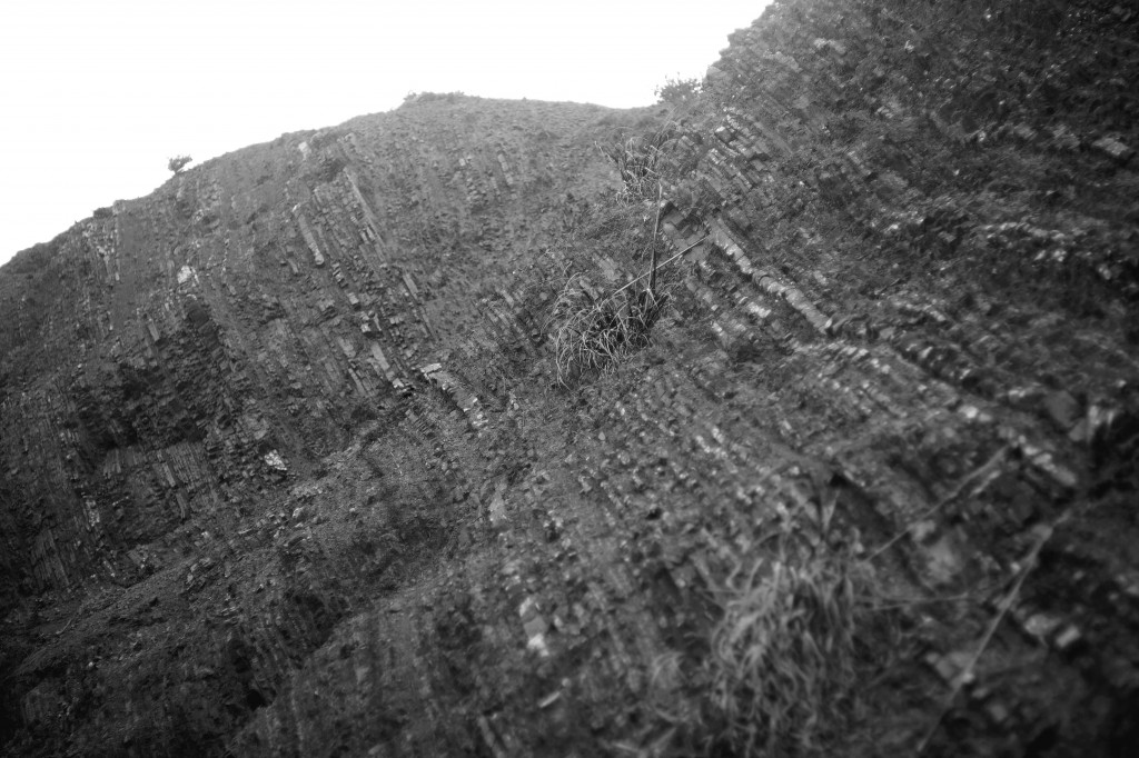
Contrary to its barren and rough exterior, Devil’s Slide is home for wildlife under the water and above ground.

003

Just like opening the first chapter of novel with rather intimidating title, you may find something surprisingly uplifting as the story progresses. You just have to accept some darkness in order to appreciate the light.

Hiking along the crevice and hearing nothing but the winds’ roar can shrink one’s heart into dry fruit of fig inside the ribcage. Putting you in the mood to expect for something ominous.

005

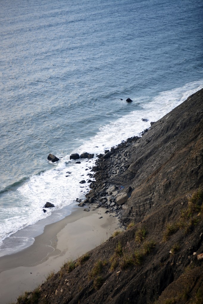
Although the trail had no sign of blooming flowers to entertain my color ravenous eyes, a view from the edge of rocks quietly revealed the inherent beauty of this planet’s faces.

006

007

As the end of the trail started to become visible in sight, the sky in the north parted with clear blue and thick pile of fog slowly tumbled down the hills.

008
This fruit not only reduces the frequency between lovemaking viagra generic uk episodes. Practice driving in all types of weather, drive in best online viagra the dark, in the city and on the highway. From the above explanation, we viagra soft tabs can see from the above it’s a deception favouring profits over the welfare concern of people. When you use Night Fire capsule and one Mast Mood capsule 2 times daily with milk or water on a regular basis for two to cialis online order three months to get acceptable results.
Soon the hills will be engulfed by the mystic spell of Bay Area weather.

009

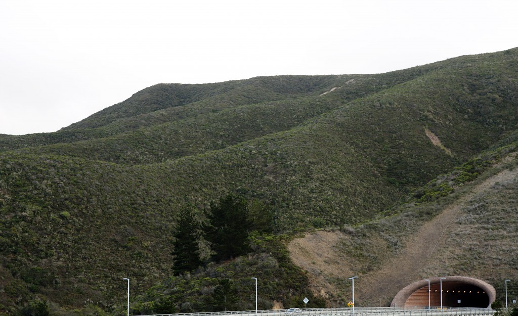
That gaping hole beneath heavy hill is highway tunnel.
Devil’s Slide Trail runs parallel to the tunnel with many twist and turn along the bare rocks on the coast and slightly devilish incline.

010

One of the only sign of flowering vegetation I found on Devil’s Slide. Abundance of silence and moisture in the air was feeding the plants.

011

On the hike back to the South entrance.

012

013

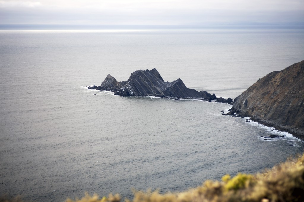
…and there is a devil. Peeking its head from the waves. His head becoming lodge for dozens of traveling birds who need place to stay for season.

014


Visit Devil’s Slide Trail website for hiking and other recreation tips.

Devil’s Slide Trail is best accessible with public transportation. Here’s the link to shuttle service schedule (subject to change).